Transport Functions
Port
Hub Profile
Place type
Populated place
Region
Västra Götaland
Time zone
Europe/Stockholm
Elevation
37 m
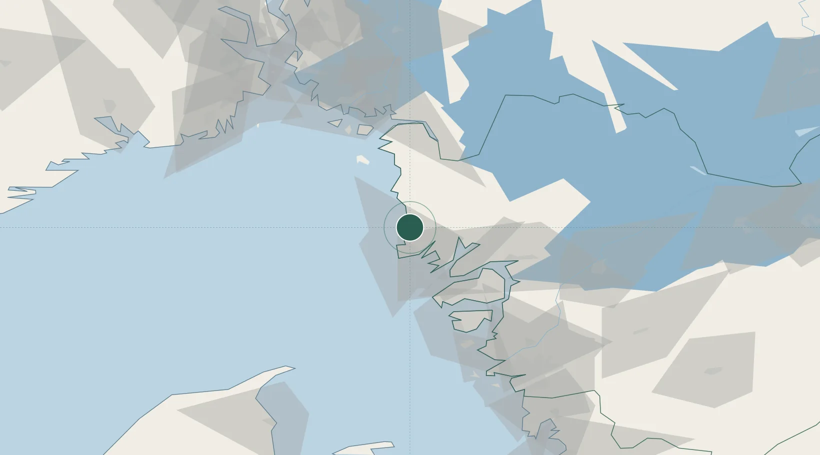
Location
Nearby Logistics Neighbours
Cities
- 1Sjöviken4 km
- 2Dingle17 km
- 3Kungshamn19 km
- 4Brastad19 km
- 5Brofjorden19 km
Ports
- 1Bovallstrand5 km
- 2Hunnebostrand9 km
- 3Fjallbacka9 km
- 4Grebbestad18 km
- 5Brofjorden19 km
Airports
- 1Trollhättan-Vänersborg Airport66 km
- 2Såtenäs Air Base84 km
- 3Säve Airport89 km
- 4Sandefjord Airport, Torp95 km
- 5Moss Airport, Rygge100 km
Trade Zones
DatabookThe Record of Consolidated Knowledge
Sweden beyond logistics?