Transport Functions
Rail
Road
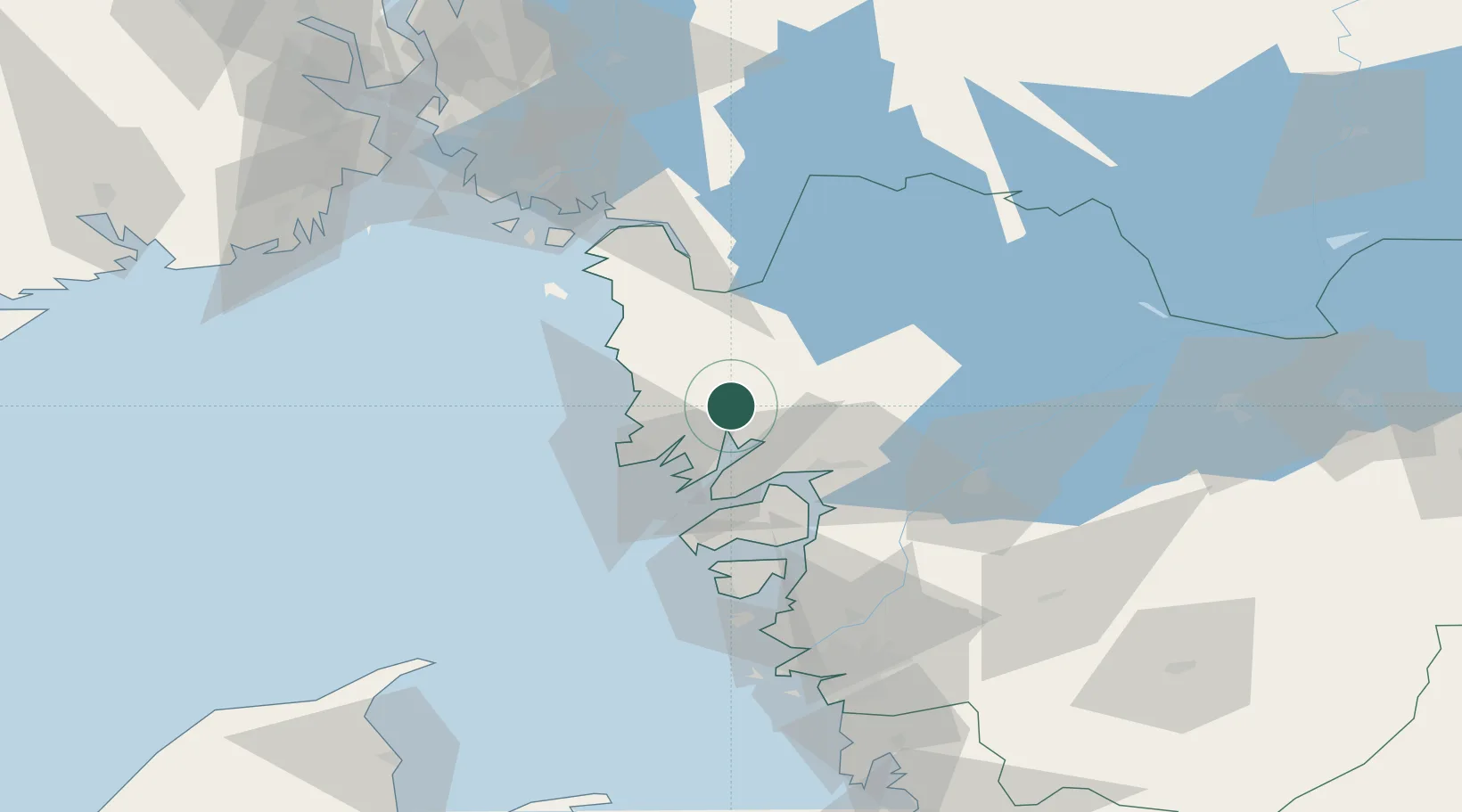
Hub Profile
Place type
Populated place
Region
Västra Götaland
Population
901
Time zone
Europe/Stockholm
Elevation
25 m
Location
Nearby Logistics Neighbours
Cities
- 1Heestrand17 km
- 2Brastad17 km
- 3Sjöviken19 km
- 4Brofjorden23 km
- 5Kungshamn28 km
Ports
- 1Bovallstrand15 km
- 2Fjallbacka18 km
- 3Hunnebostrand20 km
- 4Brofjorden21 km
- 5Grebbestad24 km
Airports
- 1Trollhättan-Vänersborg Airport51 km
- 2Såtenäs Air Base68 km
- 3Säve Airport86 km
- 4Råda Air Base86 km
- 5Moss Airport, Rygge104 km
Trade Zones
DatabookThe Record of Consolidated Knowledge
Sweden beyond logistics?