Transport Functions
Road
Multimodal
Hub Profile
Place type
Populated place
Region
Västernorrland
Time zone
Europe/Stockholm
Elevation
16 m
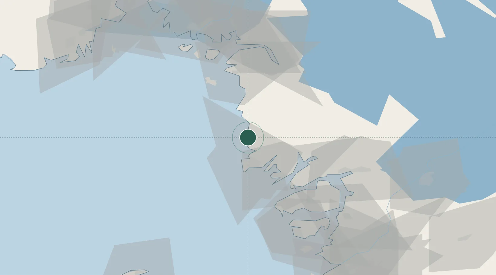
Location
Nearby Logistics Neighbours
Cities
- 1Heestrand4 km
- 2Dingle19 km
- 3Kungshamn22 km
- 4Brastad23 km
- 5Brofjorden24 km
Ports
- 1Fjallbacka6 km
- 2Bovallstrand9 km
- 3Hunnebostrand13 km
- 4Grebbestad14 km
- 5Brofjorden23 km
Airports
- 1Trollhättan-Vänersborg Airport69 km
- 2Såtenäs Air Base86 km
- 3Sandefjord Airport, Torp91 km
- 4Säve Airport94 km
- 5Moss Airport, Rygge96 km
Trade Zones
DatabookThe Record of Consolidated Knowledge
Sweden beyond logistics?