Transport Functions
Rail
Road
Hub Profile
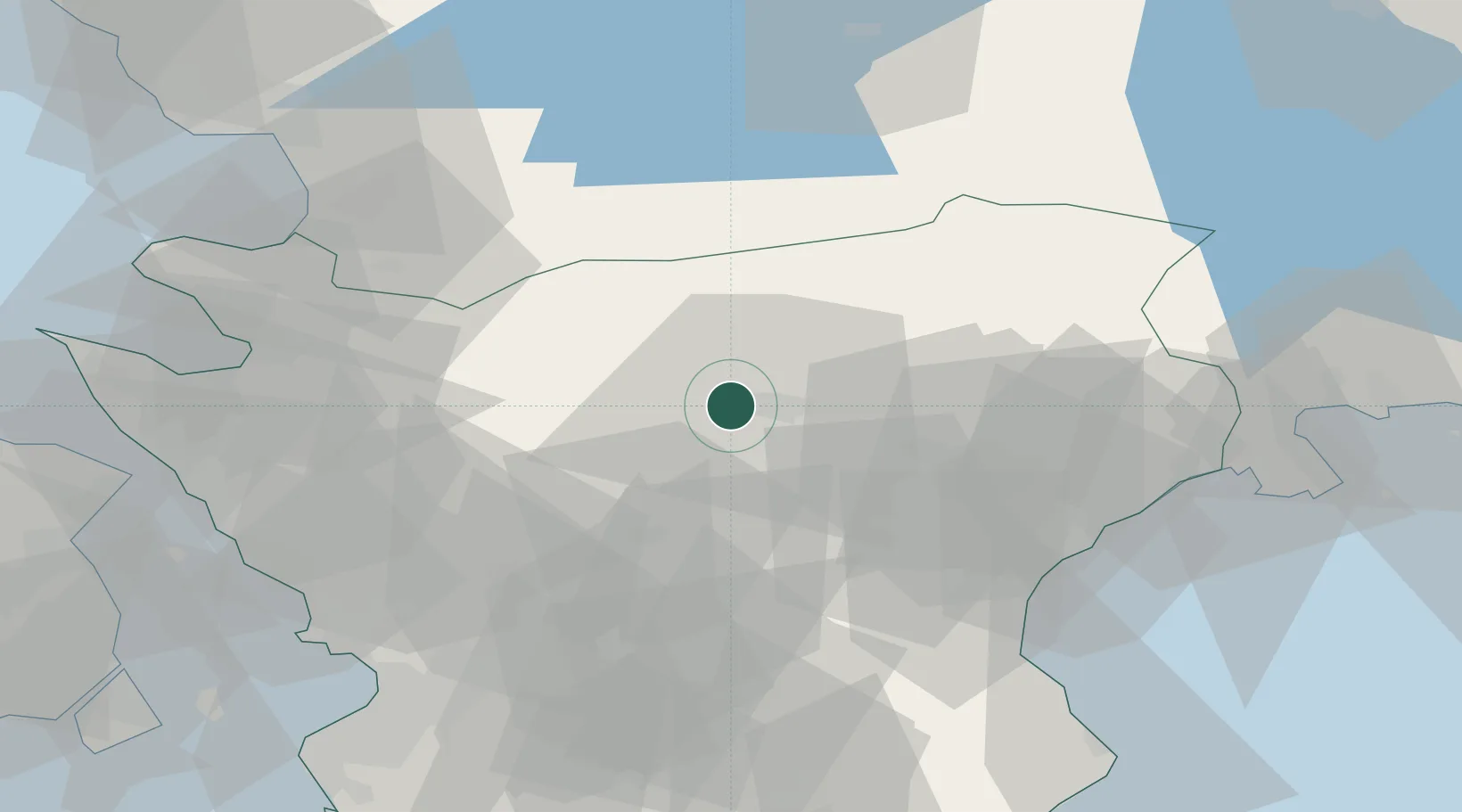
Place type
Populated place
Region
Skåne
Population
616
Time zone
Europe/Stockholm
Elevation
74 m
Location
Nearby Logistics Neighbours
Cities
- 1Nävlinge15 km
- 2Östra Sönnarslöv38 km
- 3Hishult38 km
- 4Kvidinge38 km
- 5Borschütz39 km
Ports
- 1Ahus48 km
- 2Solvesborg58 km
- 3Landskrona63 km
- 4Helsingborg63 km
- 5Helsingor68 km
Airports
- 1Ljungbyhed Airfield31 km
- 2Kristianstad Airport37 km
- 3Ängelholm-Helsingborg Airport54 km
- 4Malmö Sturup Airport73 km
- 5Halmstad Airport79 km
Trade Zones
DatabookThe Record of Consolidated Knowledge
Sweden beyond logistics?