Transport Functions
Port
Rail
Road
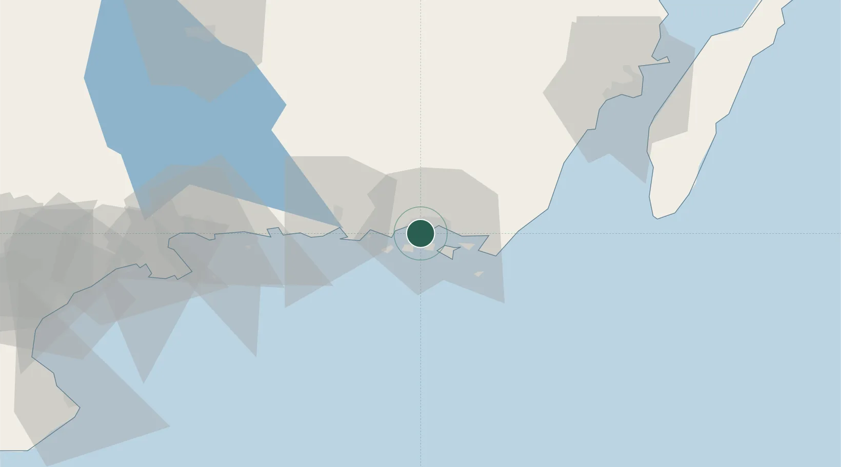
Hub Profile
Place type
Regional capital
Region
Blekinge
Population
66,675
Time zone
Europe/Stockholm
Elevation
18 m
Location
Nearby Logistics Neighbours
Cities
- 1Fredriksdal6 km
- 2Nättraby6 km
- 3Ronnebyhamn18 km
- 4Ronneby18 km
- 5Kallinge20 km
Ports
- 1Ronneby18 km
- 2Bergkvara40 km
- 3Karlshamn44 km
- 4Degerhamn55 km
- 5Solvesborg63 km
Airports
- 1Ronneby Airport23 km
- 2Kalmar Airport72 km
- 3Kristianstad Airport97 km
- 4Växjö Kronoberg Airport100 km
- 5Bornholm Airport133 km
Trade Zones
- 1MTS Malmö Transport and Spedition167 km
- 2Freeport of Copenhagen- Nordhavn192 km
- 3Jönköping Free Zone200 km
- 4Słupsk SEZ (Słupska SSE)210 km
- 5Pomeranian SEZ (Pomorska SSE)264 km
DatabookThe Record of Consolidated Knowledge
Sweden beyond logistics?