UN/LOCODE hub · Sweden
SENTY

Nättraby

56.2000°, 15.5167°
3
Transport functions

Transport Functions

Rail
Road
Multimodal
UN/LOCODE

Hub Profile

Region
K
GeoNames

Location

Location of SENTY
Natural Earth 10m (public domain) · K · SENTY · 56.20, 15.52GoogleOSMYandex

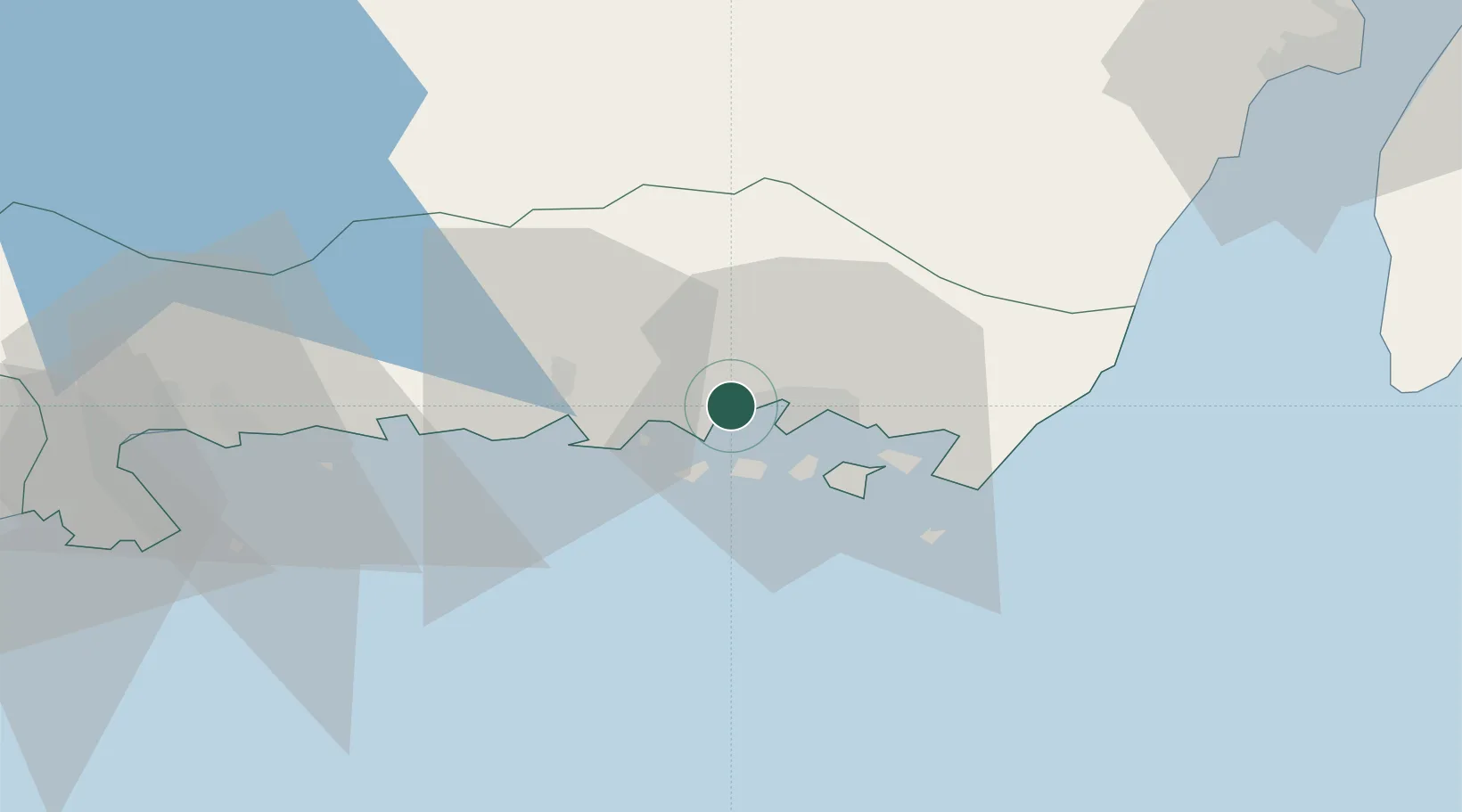
Nearby Logistics Neighbours

Cities
  1. 1Fredriksdal0 km
  2. 2Karlskrona6 km
  3. 3Ronneby13 km
  4. 4Ronnebyhamn14 km
  5. 5Kallinge15 km
Nearest neighbours — logibook spatial index (haversine) over the source coordinates
Ports
  1. 1Karlskrona6 km
  2. 2Ronneby14 km
  3. 3Karlshamn40 km
  4. 4Bergkvara41 km
  5. 5Degerhamn58 km
Nearest neighbours — logibook spatial index (haversine) over the source coordinates
Airports
  1. 1Ronneby Airport17 km
  2. 2Kalmar Airport72 km
  3. 3Kristianstad Airport94 km
  4. 4Växjö Kronoberg Airport94 km
  5. 5Bornholm Airport135 km
Nearest neighbours — logibook spatial index (haversine) over the source coordinates
Trade Zones
  1. 1MTS Malmö Transport and Spedition165 km
  2. 2Freeport of Copenhagen- Nordhavn189 km
  3. 3Jönköping Free Zone194 km
  4. 4Słupsk SEZ (Słupska SSE)215 km
  5. 5Swinoujscie Duty Free Zone268 km
Nearest neighbours — logibook spatial index (haversine) over the source coordinates
DatabookThe Record of Consolidated Knowledge
Sweden beyond logistics?
Browse databook

All Sources

LocationsUN/LOCODE
UN/LOCODE — free
Portsthe NGA World Port Index
Public domain (US gov)
AirportsOurAirports
Public domain
Trade Zonesthe World Bank SEZ database
CC BY 4.0
Trade ZonesOpen Zone Map
CC BY
← Sweden locations