Transport Functions
Road
Multimodal
Hub Profile
Place type
Populated place
Region
Skåne
Population
1,823
Time zone
Europe/Stockholm
Elevation
31 m
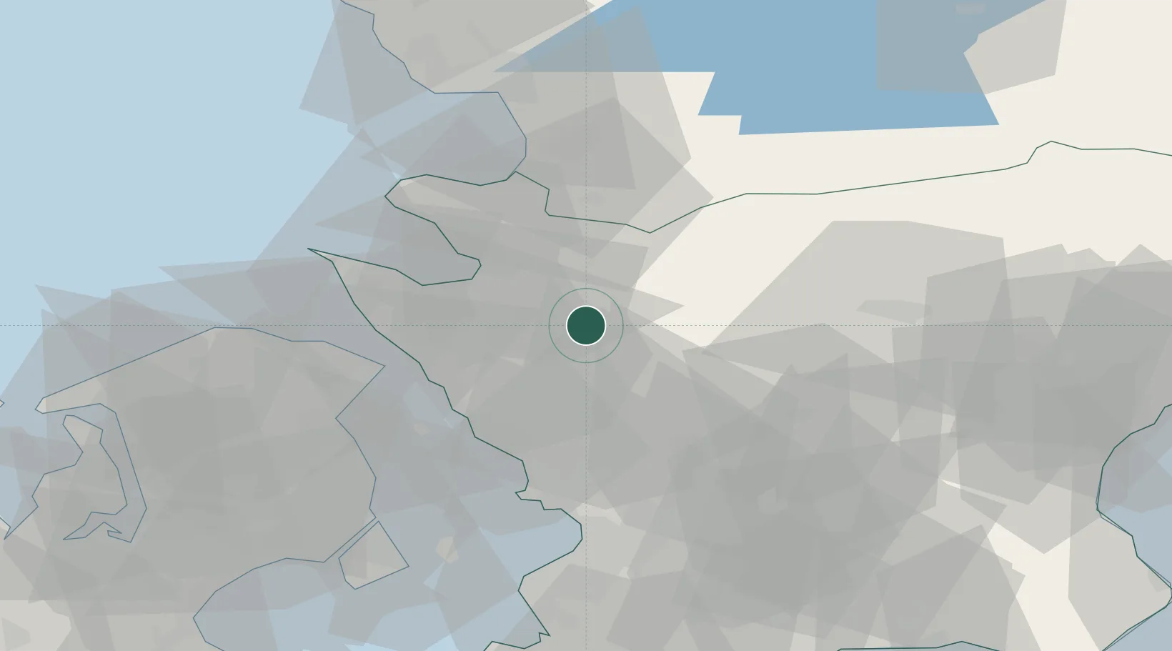
Location
Nearby Logistics Neighbours
Cities
- 1Nyvång10 km
- 2Ödåkra21 km
- 3Helsingborg23 km
- 4Svalöv24 km
- 5Borschütz31 km
Ports
- 1Helsingborg26 km
- 2Helsingor30 km
- 3Hoganas33 km
- 4Landskrona34 km
- 5Tuborg55 km
Airports
- 1Ljungbyhed Airfield11 km
- 2Ängelholm-Helsingborg Airport23 km
- 3København Vandflyveplads57 km
- 4Copenhagen Kastrup Airport63 km
- 5Halmstad Airport64 km
Trade Zones
DatabookThe Record of Consolidated Knowledge
Sweden beyond logistics?