Transport Functions
Road
Multimodal
Hub Profile
Place type
Populated place
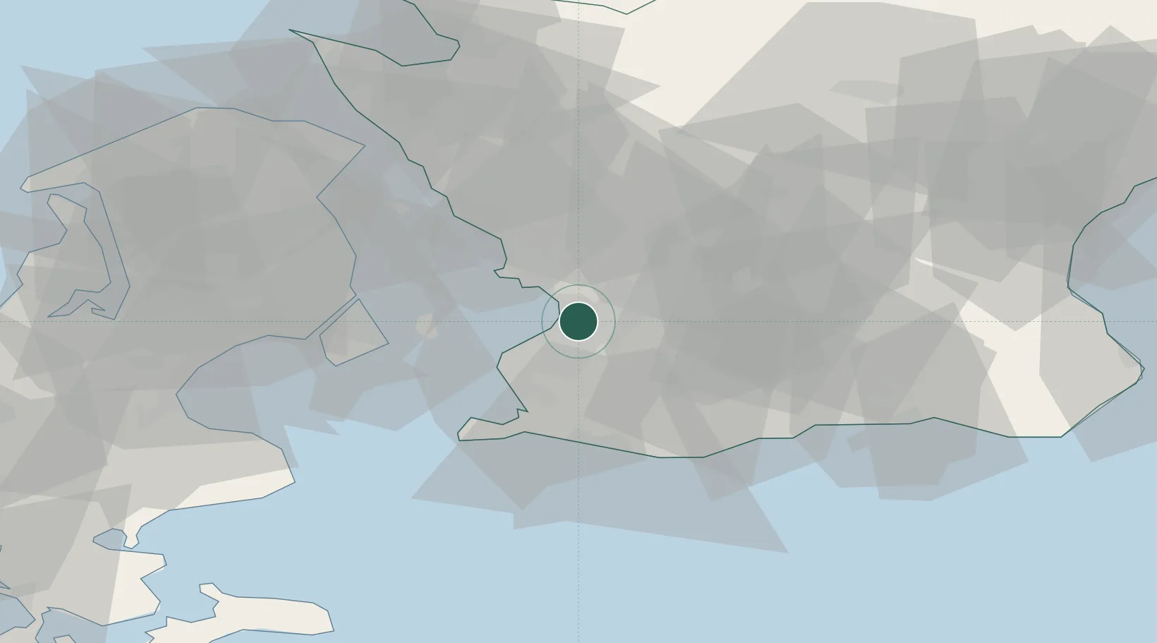
Region
Skåne
Population
5,959
Time zone
Europe/Stockholm
Elevation
8 m
Location
Nearby Logistics Neighbours
Cities
- 1Stora Raby8 km
- 2Malmö9 km
- 3Bjärred9 km
- 4Limhamn12 km
- 5Furulund13 km
Ports
- 1Malmo8 km
- 2Limhamn13 km
- 3Landskrona29 km
- 4Kobenhavn31 km
- 5Trelleborg32 km
Airports
- 1Malmö Sturup Airport22 km
- 2Copenhagen Kastrup Airport28 km
- 3København Vandflyveplads32 km
- 4Ljungbyhed Airfield49 km
- 5Copenhagen Roskilde Airport61 km
Trade Zones
DatabookThe Record of Consolidated Knowledge
Sweden beyond logistics?