Transport Functions
Port
Rail
Road
Hub Profile
Place type
Populated place
Region
Skåne
Time zone
Europe/Stockholm
Elevation
7 m
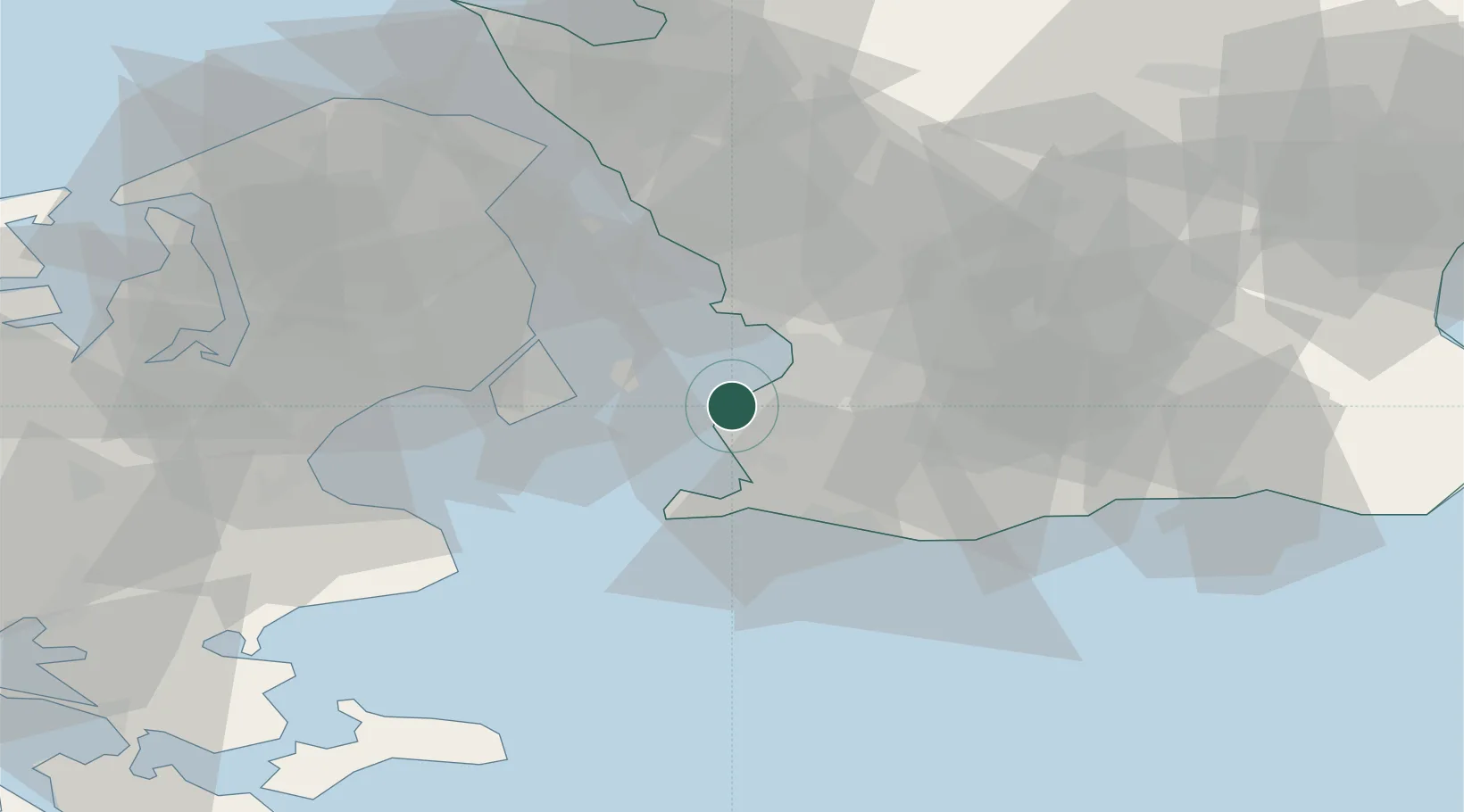
Location
Nearby Logistics Neighbours
Cities
- 1Malmö5 km
- 2Bunkeflostrand6 km
- 3Klagshamn6 km
- 4Åkarp12 km
- 5Vellinge14 km
Ports
- 1Malmo5 km
- 2Kobenhavn25 km
- 3Tuborg27 km
- 4Trelleborg28 km
- 5Landskrona32 km
Airports
- 1Copenhagen Kastrup Airport19 km
- 2København Vandflyveplads25 km
- 3Malmö Sturup Airport27 km
- 4Copenhagen Roskilde Airport51 km
- 5Ljungbyhed Airfield58 km
Trade Zones
DatabookThe Record of Consolidated Knowledge
Sweden beyond logistics?