UN/LOCODE hub · Sweden
SEBJR

Bjärred

55.7167°, 13.0167°
2
Transport functions

Transport Functions

Port
Road
UN/LOCODE

Hub Profile

Region
M
GeoNames

Location

Location of SEBJR
Natural Earth 10m (public domain) · M · SEBJR · 55.72, 13.02GoogleOSMYandex

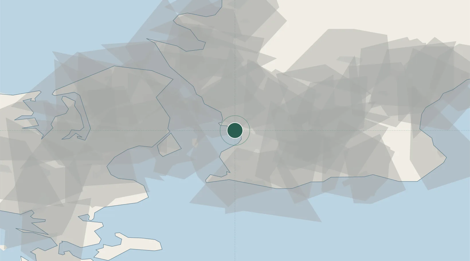
Nearby Logistics Neighbours

Cities
  1. 1Löddeköpinge6 km
  2. 2Furulund8 km
  3. 3Barsebäckshamn8 km
  4. 4Åkarp9 km
  5. 5Stora Raby13 km
Nearest neighbours — logibook spatial index (haversine) over the source coordinates
Ports
  1. 1Malmo11 km
  2. 2Limhamn15 km
  3. 3Landskrona20 km
  4. 4Kobenhavn25 km
  5. 5Tuborg27 km
Nearest neighbours — logibook spatial index (haversine) over the source coordinates
Airports
  1. 1Copenhagen Kastrup Airport25 km
  2. 2København Vandflyveplads26 km
  3. 3Malmö Sturup Airport30 km
  4. 4Ljungbyhed Airfield43 km
  5. 5Copenhagen Roskilde Airport57 km
Nearest neighbours — logibook spatial index (haversine) over the source coordinates
Trade Zones
  1. 1MTS Malmö Transport and Spedition13 km
  2. 2Freeport of Copenhagen- Nordhavn26 km
  3. 3Swinoujscie Duty Free Zone218 km
  4. 4Gothenburg Boundless Customs Warehouse233 km
  5. 5Jönköping Free Zone237 km
Nearest neighbours — logibook spatial index (haversine) over the source coordinates
DatabookThe Record of Consolidated Knowledge
Sweden beyond logistics?
Browse databook

All Sources

LocationsUN/LOCODE
UN/LOCODE — free
Portsthe NGA World Port Index
Public domain (US gov)
AirportsOurAirports
Public domain
Trade Zonesthe World Bank SEZ database
CC BY 4.0
Trade ZonesOpen Zone Map
CC BY
← Sweden locations