Transport Functions
Rail
Road
Hub Profile
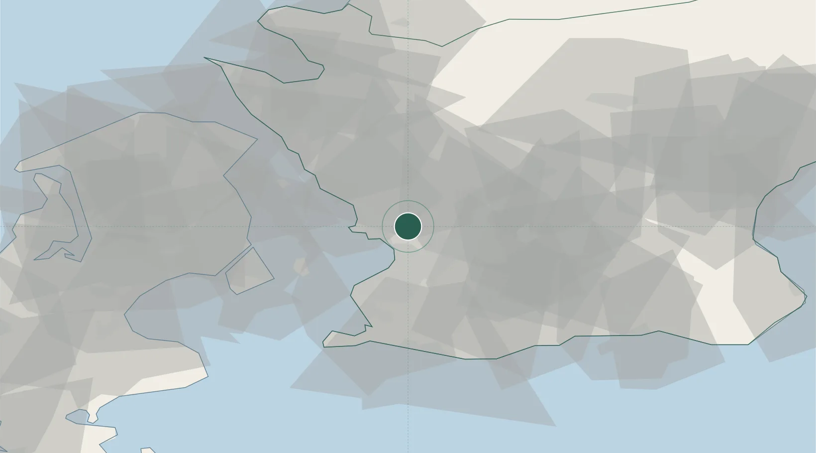
Place type
Populated place
Region
Skåne
Population
4,359
Time zone
Europe/Stockholm
Elevation
17 m
Location
Nearby Logistics Neighbours
Cities
- 1Löddeköpinge5 km
- 2Bjärred8 km
- 3Stora Raby12 km
- 4Barsebäckshamn13 km
- 5Åkarp13 km
Ports
- 1Malmo18 km
- 2Landskrona20 km
- 3Limhamn23 km
- 4Kobenhavn31 km
- 5Tuborg33 km
Airports
- 1Malmö Sturup Airport31 km
- 2Copenhagen Kastrup Airport32 km
- 3København Vandflyveplads32 km
- 4Ljungbyhed Airfield36 km
- 5Ängelholm-Helsingborg Airport61 km
Trade Zones
DatabookThe Record of Consolidated Knowledge
Sweden beyond logistics?