Transport Functions
Road
Multimodal
Hub Profile
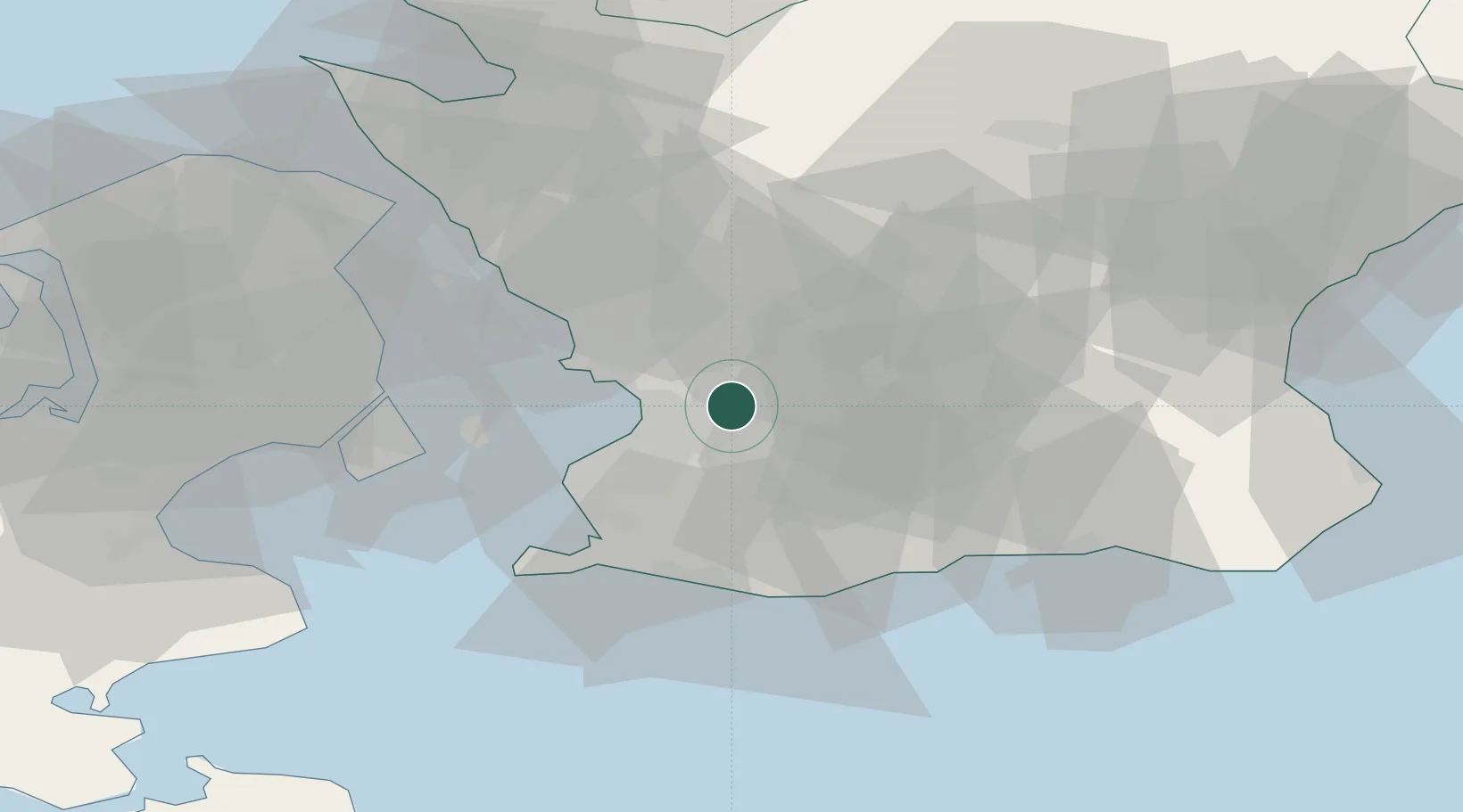
Place type
Populated place
Region
Skåne
Time zone
Europe/Stockholm
Elevation
24 m
Location
Nearby Logistics Neighbours
Cities
- 1Åkarp8 km
- 2Flyinge11 km
- 3Furulund12 km
- 4Bjärred13 km
- 5Löddeköpinge16 km
Ports
- 1Malmo16 km
- 2Limhamn21 km
- 3Landskrona31 km
- 4Trelleborg36 km
- 5Kobenhavn38 km
Airports
- 1Malmö Sturup Airport19 km
- 2Copenhagen Kastrup Airport36 km
- 3København Vandflyveplads39 km
- 4Ljungbyhed Airfield44 km
- 5Kristianstad Airport60 km
Trade Zones
DatabookThe Record of Consolidated Knowledge
Sweden beyond logistics?