UN/LOCODE hub · Russia
RUXC2

Kotel'niki

55.6333°, 37.8500°
18,300
Population
2
Transport functions

Transport Functions

Port
Multimodal
UN/LOCODE

Hub Profile

Place type
Provincial seat
GeoNames
Region
Moscow Oblast
GeoNames
Population
18,300
GeoNames
Time zone
Europe/Moscow
GeoNames
Elevation
140 m
GeoNames

Location

Location of RUXC2
Natural Earth 10m (public domain) · Moscow Oblast · RUXC2 · 55.63, 37.85GoogleOSMYandex

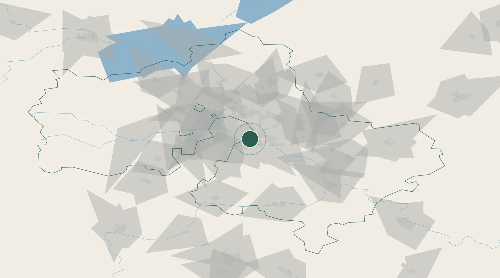
Nearby Logistics Neighbours

Cities
  1. 1Balashikha20 km
  2. 2Mosrentgen24 km
  3. 3Korolëv (ex Kaliningrad), Moskovskaya30 km
  4. 4Balobanovo34 km
  5. 5Ramenskoye37 km
Nearest neighbours — logibook spatial index (haversine) over the source coordinates
Ports
  1. 1Lomonosov675 km
  2. 2Kronshtadt679 km
  3. 3Ust Luga722 km
  4. 4Primorsk755 km
  5. 5Gavan Vysotsk776 km
Nearest neighbours — logibook spatial index (haversine) over the source coordinates
Airports
  1. 1Myachkovo Airfield12 km
  2. 2Zhukovsky International Airport21 km
  3. 3Domodedovo International Airport25 km
  4. 4Chkalovskiy Air Base30 km
  5. 5Vnukovo International Airport37 km
Nearest neighbours — logibook spatial index (haversine) over the source coordinates
DatabookThe Record of Consolidated Knowledge
Russia beyond logistics?
Browse databook

All Sources

LocationsUN/LOCODE
UN/LOCODE — free
LocationsGeoNames
CC BY 4.0
Portsthe NGA World Port Index
Public domain (US gov)
AirportsOurAirports
Public domain
Trade Zonesthe World Bank SEZ database
CC BY 4.0
Trade ZonesOpen Zone Map
CC BY
← Russia locations