UN/LOCODE hub · Russia
RUBLA

Balashikha

55.8000°, 37.9500°
150,103
Population
2
Transport functions

Transport Functions

Rail
Road
UN/LOCODE

Hub Profile

Place type
Provincial seat
GeoNames
Region
Moscow Oblast
GeoNames
Population
150,103
GeoNames
Time zone
Europe/Moscow
GeoNames
Elevation
136 m
GeoNames

Location

Location of RUBLA
Natural Earth 10m (public domain) · Moscow Oblast · RUBLA · 55.80, 37.95GoogleOSMYandex

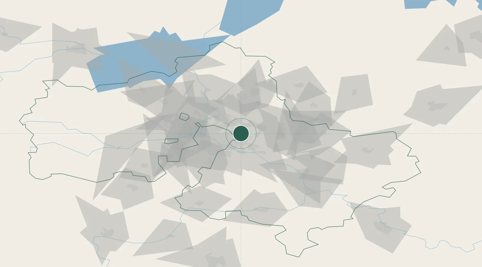
Nearby Logistics Neighbours

Cities
  1. 1Korolëv (ex Kaliningrad), Moskovskaya14 km
  2. 2Fryazino18 km
  3. 3Balobanovo19 km
  4. 4Kotel'niki20 km
  5. 5Pushkino23 km
Nearest neighbours — logibook spatial index (haversine) over the source coordinates
Ports
  1. 1Lomonosov665 km
  2. 2Kronshtadt670 km
  3. 3Ust Luga714 km
  4. 4Primorsk746 km
  5. 5Vyborg766 km
Nearest neighbours — logibook spatial index (haversine) over the source coordinates
Airports
  1. 1Chkalovskiy Air Base11 km
  2. 2Myachkovo Airfield27 km
  3. 3Zhukovsky International Airport30 km
  4. 4Sheremetyevo International Airport39 km
  5. 5Domodedovo International Airport44 km
Nearest neighbours — logibook spatial index (haversine) over the source coordinates
DatabookThe Record of Consolidated Knowledge
Russia beyond logistics?
Browse databook

All Sources

LocationsUN/LOCODE
UN/LOCODE — free
LocationsGeoNames
CC BY 4.0
Portsthe NGA World Port Index
Public domain (US gov)
AirportsOurAirports
Public domain
Trade Zonesthe World Bank SEZ database
CC BY 4.0
Trade ZonesOpen Zone Map
CC BY
← Russia locations