Diversified Zone · Russia

Borovsk Special Economic Zone Active
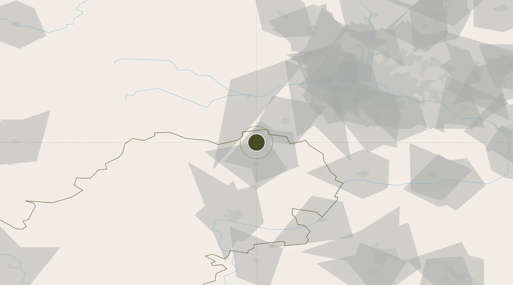
55.2031°, 36.4829°
432 ha
Zone area
659.0 km
Nearest port
8.5 km
Nearest airport

Gateway access

Nearest neighbours — logibook spatial index (haversine) over the source coordinates

Zone profile

Zone type
Diversified Zone
Open Zone Map
Region
Kaluga
Open Zone Map
Status
Active
Open Zone Map
Management
Public
Open Zone Map
Operator
Special Economic Zones JSC
Open Zone Map
Legal framework
Federal Law No 116-FZ, On Special Economic Zones in the Russian Federation, Decree of the Government of the Russian Federation No. 1538 dated 31.12.2015
Open Zone Map

Location

Location of ozm-4002
Natural Earth 10m (public domain) · Kaluga · ozm-4002 · 55.20, 36.48GoogleOSMYandex

Nearby Logistics Neighbours

Ports
  1. 1Lomonosov659 km
  2. 2Kronshtadt664 km
  3. 3Ust Luga696 km
  4. 4Primorsk738 km
  5. 5Gavan Vysotsk761 km
Nearest neighbours — logibook spatial index (haversine) over the source coordinates
Airports
  1. 1Yermolino Air Base9 km
  2. 2Kubinka Air Base47 km
  3. 3Vnukovo International Airport65 km
  4. 4Grabtsevo Airport73 km
  5. 5Oreshkovo Airfield86 km
Nearest neighbours — logibook spatial index (haversine) over the source coordinates
Cities
  1. 1Vorsino10 km
  2. 2Obninsk16 km
  3. 3Kubinka44 km
  4. 4Selyatino45 km
  5. 5Ruza56 km
Nearest neighbours — logibook spatial index (haversine) over the source coordinates
DatabookThe Record of Consolidated Knowledge
Russia beyond logistics?
Browse databook

All Sources

Trade ZonesOpen Zone Map
CC BY
Portsthe NGA World Port Index
Public domain (US gov)
AirportsOurAirports
Public domain
LocationsUN/LOCODE
UN/LOCODE — free
← Russia trade zones