Medium airport · Russia

Chkalovskiy Air BaseUUMU
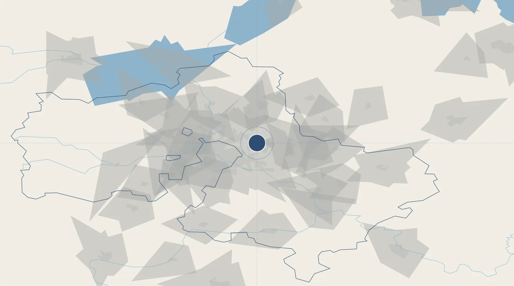
55.8783°, 38.0617°
11,811 ft
Longest runway
2
Runways
499 ft
Elevation

Runway & Layout

Chkalovskiy Air Base runway & taxiway layout
Runway & taxiway layout — OpenStreetMap (ODbL) / OurAirports

Radio Frequencies

LANDING
121.1 MHz
OurAirports

Runways · 2

RunwayDimensions SurfaceTrue headingLit
12L/30R 11,811 × 315ft concrete
12R/30L 9,842 × 190ft concrete
OurAirports

Airport Specifications

IATA code
CKL
OurAirports
ICAO code
UUMU
OurAirports
Airport class
Medium airport
OurAirports
Scheduled service
No
OurAirports
Runway surface
concrete
OurAirports
Served city
Moscow
OurAirports

Location

Location of UUMU
Natural Earth 10m (public domain) · Moskovskaya · UUMU · 55.88, 38.06GoogleOSMYandex

Nearby Logistics Neighbours

Airports
  1. 1Myachkovo Airfield36 km
  2. 2Zhukovsky International Airport37 km
  3. 3Sheremetyevo International Airport42 km
  4. 4Domodedovo International Airport53 km
  5. 5Vnukovo International Airport59 km
Nearest neighbours — logibook spatial index (haversine) over the source coordinates
Cities
  1. 1Fryazino8 km
  2. 2Balashikha11 km
  3. 3Balobanovo11 km
  4. 4Korolëv (ex Kaliningrad), Moskovskaya16 km
  5. 5Pushkino20 km
Nearest neighbours — logibook spatial index (haversine) over the source coordinates
Ports
  1. 1Lomonosov664 km
  2. 2Kronshtadt668 km
  3. 3Ust Luga714 km
  4. 4Primorsk744 km
  5. 5Vyborg764 km
Nearest neighbours — logibook spatial index (haversine) over the source coordinates
DatabookThe Record of Consolidated Knowledge
Russia beyond logistics?
Browse databook

All Sources

AirportsOurAirports
Public domain
Portsthe NGA World Port Index
Public domain (US gov)
LocationsUN/LOCODE
UN/LOCODE — free
Trade Zonesthe World Bank SEZ database
CC BY 4.0
Trade ZonesOpen Zone Map
CC BY
InfrastructureOpenStreetMap
ODbL 1.0
← Russia airports