Transport Functions
Rail
Road
Hub Profile
Place type
Populated place
Region
Moscow Oblast
Time zone
Europe/Moscow
Elevation
133 m
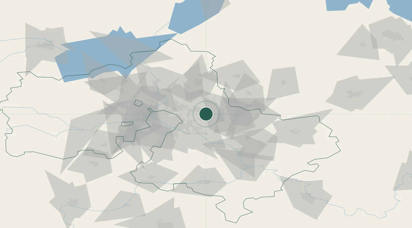
Location
Nearby Logistics Neighbours
Cities
- 1Fryazino17 km
- 2Balashikha19 km
- 3Korolëv (ex Kaliningrad), Moskovskaya27 km
- 4Pavlovskiy Posad27 km
- 5Pushkino30 km
Ports
- 1Lomonosov674 km
- 2Kronshtadt678 km
- 3Ust Luga724 km
- 4Primorsk754 km
- 5Vyborg773 km
Airports
DatabookThe Record of Consolidated Knowledge
Russia beyond logistics?