UN/LOCODE hub · Russia
RUKAD

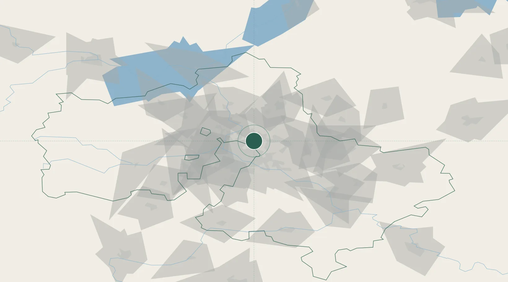
Korolëv (ex Kaliningrad), Moskovskaya

55.9000°, 37.8167°
2
Transport functions

Transport Functions

Rail
Road
UN/LOCODE

Hub Profile

Region
MOS
GeoNames

Location

Location of RUKAD
Natural Earth 10m (public domain) · MOS · RUKAD · 55.90, 37.82GoogleOSMYandex

Nearby Logistics Neighbours

Cities
  1. 1Pushkino11 km
  2. 2Balashikha14 km
  3. 3Fryazino15 km
  4. 4Pravdinskiy17 km
  5. 5Lobnya25 km
Nearest neighbours — logibook spatial index (haversine) over the source coordinates
Ports
  1. 1Lomonosov652 km
  2. 2Kronshtadt656 km
  3. 3Ust Luga701 km
  4. 4Primorsk732 km
  5. 5Vyborg752 km
Nearest neighbours — logibook spatial index (haversine) over the source coordinates
Airports
  1. 1Chkalovskiy Air Base16 km
  2. 2Sheremetyevo International Airport27 km
  3. 3Myachkovo Airfield39 km
  4. 4Zhukovsky International Airport44 km
  5. 5Vnukovo International Airport49 km
Nearest neighbours — logibook spatial index (haversine) over the source coordinates
DatabookThe Record of Consolidated Knowledge
Russia beyond logistics?
Browse databook

All Sources

LocationsUN/LOCODE
UN/LOCODE — free
Portsthe NGA World Port Index
Public domain (US gov)
AirportsOurAirports
Public domain
Trade Zonesthe World Bank SEZ database
CC BY 4.0
Trade ZonesOpen Zone Map
CC BY
← Russia locations