Transport Functions
Rail
Road
Hub Profile
Place type
Provincial seat
Region
Moscow Oblast
Population
96,000
Time zone
Europe/Moscow
Elevation
134 m
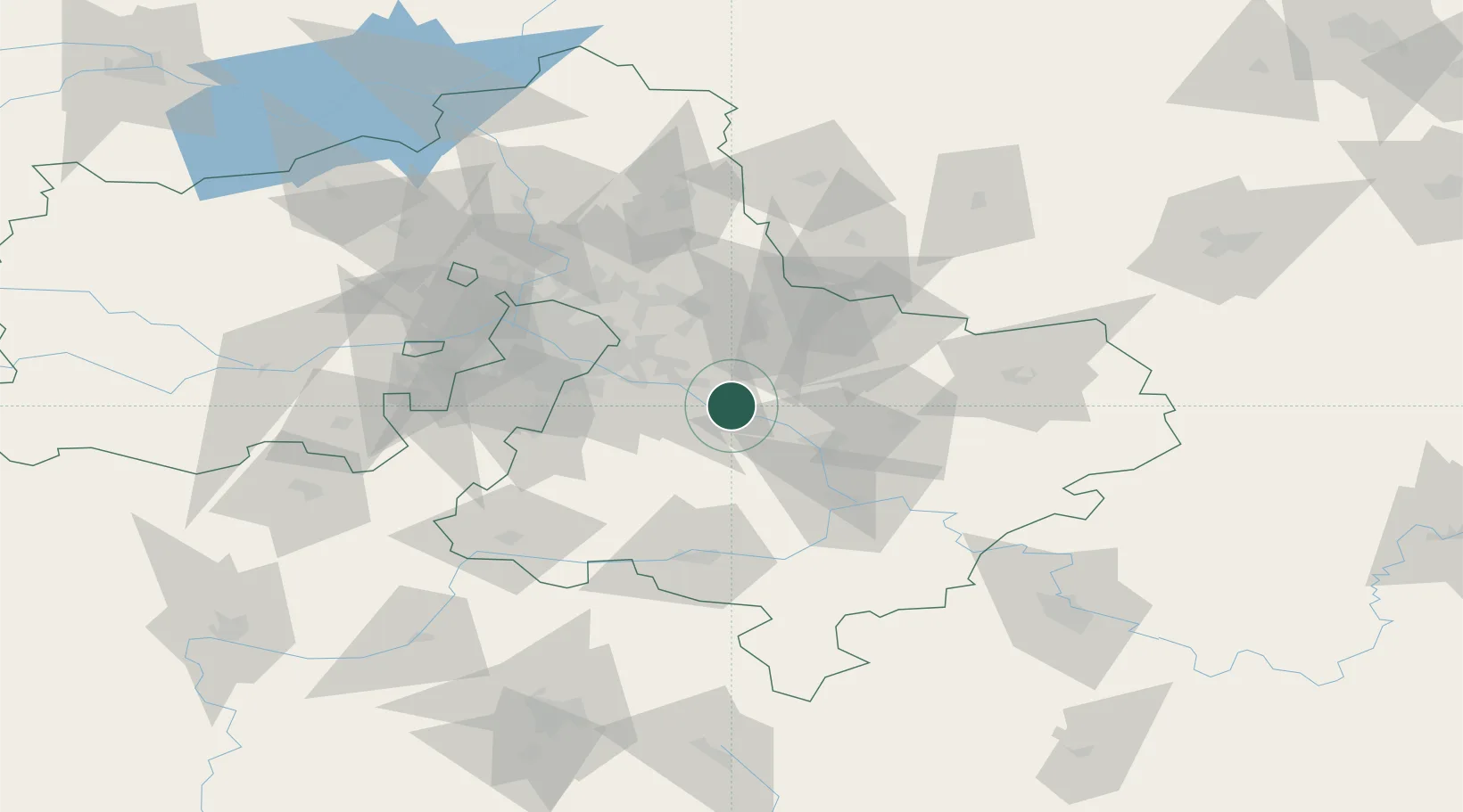
Location
Nearby Logistics Neighbours
Cities
- 1Voskresensk29 km
- 2Voskresensk30 km
- 3Kotel'niki37 km
- 4Pavlovskiy Posad40 km
- 5Malino42 km
Ports
- 1Lomonosov710 km
- 2Kronshtadt714 km
- 3Ust Luga758 km
- 4Primorsk790 km
- 5Vyborg810 km
Airports
DatabookThe Record of Consolidated Knowledge
Russia beyond logistics?