Transport Functions
Multimodal
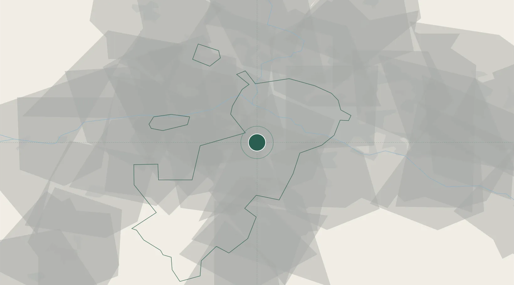
Hub Profile
Place type
Populated place
Region
Moscow Oblast
Population
5,214
Time zone
Europe/Moscow
Elevation
211 m
Location
Nearby Logistics Neighbours
Cities
- 1Kotel'niki24 km
- 2Krasnogorsk24 km
- 3Klimovsk30 km
- 4Selyatino34 km
- 5Balashikha37 km
Ports
- 1Lomonosov660 km
- 2Kronshtadt665 km
- 3Ust Luga706 km
- 4Primorsk741 km
- 5Gavan Vysotsk762 km
Airports
DatabookThe Record of Consolidated Knowledge
Russia beyond logistics?