Transport Functions
Rail
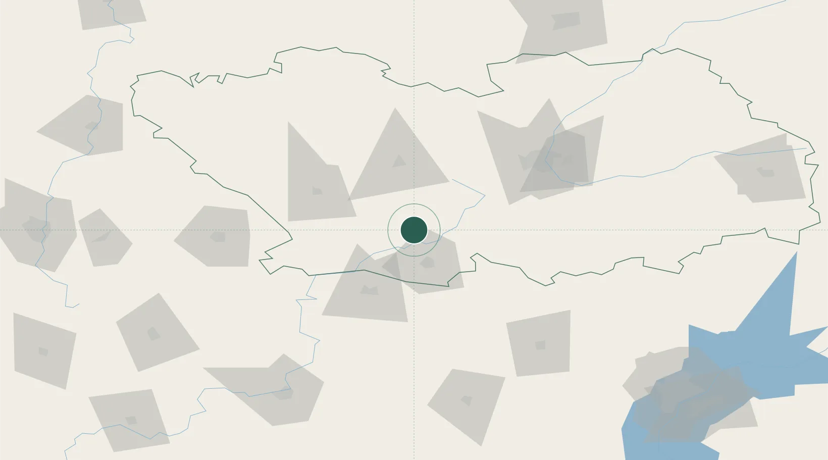
Hub Profile
Place type
Populated place
Region
Penza Oblast
Time zone
Europe/Moscow
Elevation
151 m
Location
Nearby Logistics Neighbours
Cities
- 1Grabovo96 km
- 2Polsbroek109 km
- 3Ulvenhout155 km
- 4Tatishchevo155 km
- 5Umet180 km
Ports
- 1Rostov-Na-Donu692 km
- 2Azov708 km
- 3Taganrog715 km
- 4Mariupol781 km
- 5Yeysk786 km
Airports
- 1Rtishchevo Air Base53 km
- 2Penza Airport76 km
- 3Balashov Air Base143 km
- 4Saransk International Airport173 km
- 5Donskoye Airport176 km
DatabookThe Record of Consolidated Knowledge
Russia beyond logistics?