Transport Functions
Rail
Road
Hub Profile
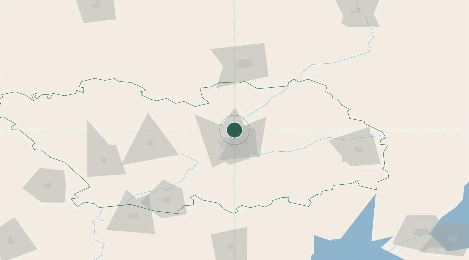
Place type
Populated place
Region
Penza Oblast
Population
7,303
Time zone
Europe/Moscow
Elevation
171 m
Location
Nearby Logistics Neighbours
Cities
- 1Voinovka96 km
- 2Polsbroek154 km
- 3Umet176 km
- 4Sennoy185 km
- 5Tatishchevo193 km
Ports
- 1Rostov-Na-Donu786 km
- 2Azov803 km
- 3Taganrog811 km
- 4Mariupol877 km
- 5Yeysk882 km
Airports
- 1Penza Airport29 km
- 2Saransk International Airport85 km
- 3Lyambir Air Base102 km
- 4Rtishchevo Air Base149 km
- 5Bagay-Baranovka Air Base188 km
Trade Zones
DatabookThe Record of Consolidated Knowledge
Russia beyond logistics?