Medium airport · Russia
Donskoye AirportUUOT
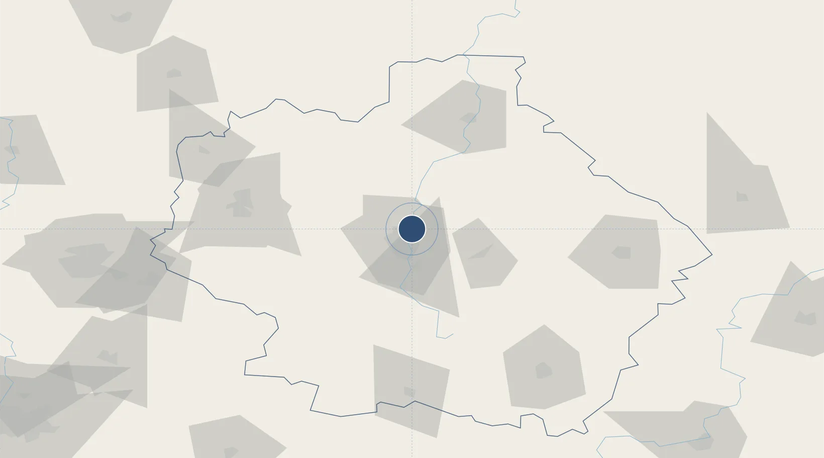
52.8061°, 41.4828°
6,889 ft
Longest runway
1
Runways
413 ft
Elevation
Runway & Layout

Runways · 1
| Runway | Dimensions | Surface | True heading | Lit |
|---|---|---|---|---|
| 14/32 | 6,889 × 138ft | concrete | 142° | — |
Airport Specifications
IATA code
TBW
ICAO code
UUOT
Airport class
Medium airport
Scheduled service
No
Runway surface
concrete
Served city
Tambov
Location
Nearby Logistics Neighbours
Airports
- 1Tambov Air Base14 km
- 2Michurinsk Air Base76 km
- 3Lipetsk Airport131 km
- 4Lipetsk Air Base139 km
- 5Rtishchevo Air Base162 km
Cities
- 1Middenbeemster48 km
- 2Lebedyan'158 km
- 3Umet164 km
- 4Kazinka184 km
- 5Yelets201 km
Ports
- 1Rostov-Na-Donu640 km
- 2Taganrog649 km
- 3Azov651 km
- 4Mariupol695 km
- 5Yeysk714 km
DatabookThe Record of Consolidated Knowledge
Russia beyond logistics?