Transport Functions
Rail
Road
Hub Profile
Place type
Populated place
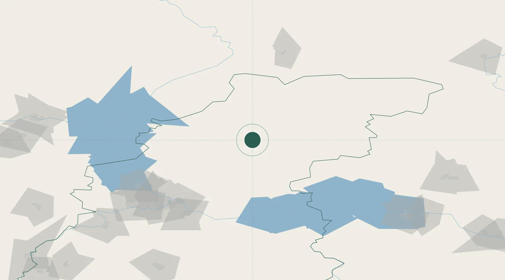
Region
Nizhny Novgorod Oblast
Population
5,340
Time zone
Europe/Moscow
Elevation
105 m
Location
Nearby Logistics Neighbours
Cities
- 1Balakhna119 km
- 2Zavolzh'ye119 km
- 3Cheboksary173 km
- 4Pavlovo184 km
- 5Vichuga193 km
Ports
- 1Arkhangels'k855 km
- 2Severodvinsk873 km
- 3Mezen965 km
- 4Rostov-Na-Donu1170 km
- 5Azov1184 km
Airports
- 1Sormovo Airfield124 km
- 2Nizhny Novgorod / Strigino International Airport132 km
- 3Sharya Airport139 km
- 4Yoshkar-Ola Airport177 km
- 5Cheboksary Airport182 km
DatabookThe Record of Consolidated Knowledge
Russia beyond logistics?