Medium airport · Russia
Cheboksary AirportUWKS
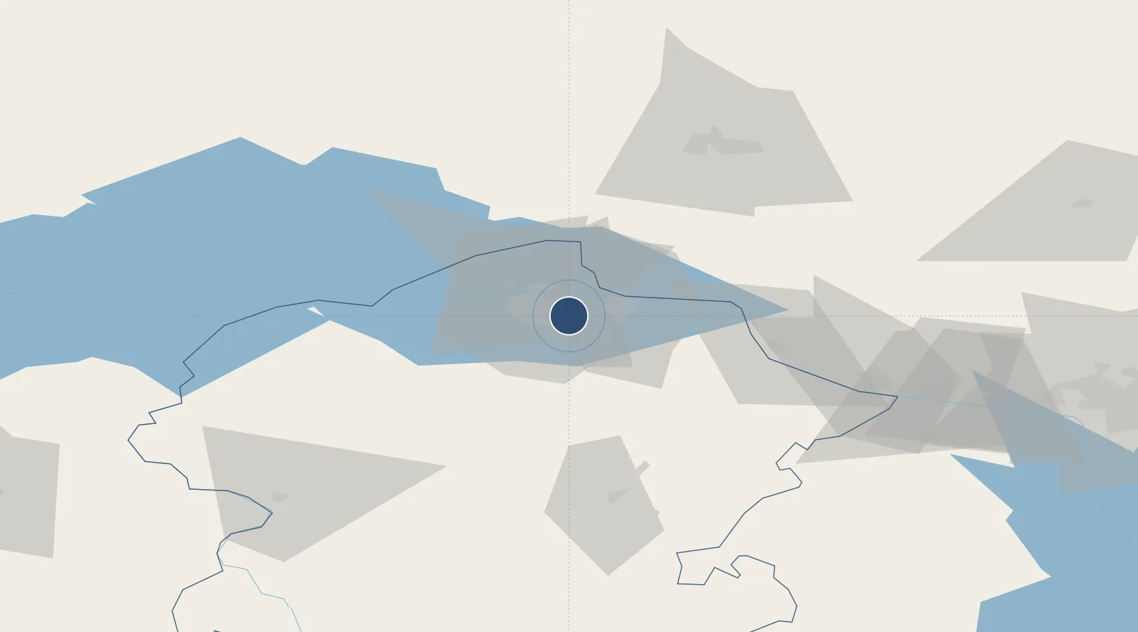
56.0903°, 47.3473°
8,241 ft
Longest runway
2
Runways
558 ft
Elevation
Runway & Layout

Radio Frequencies
TWR
119.3 MHz
Navaids
CR NDB Cheboksary 510 kHz
LA NDB Cheboksary 510 kHz
Runways · 2
| Runway | Dimensions | Surface | True heading | Lit |
|---|---|---|---|---|
| 06/24 | 8,241 × 161ft | Asphalt | 072° | ✓ |
| 06R/24L | 4,950 × 270ft | Grass | 073° | — |
Airport Specifications
IATA code
CSY
ICAO code
UWKS
Airport class
Medium airport
Scheduled service
Yes
Runway surface
Asphalt
Served city
Cheboksary
Location
Nearby Logistics Neighbours
Airports
- 1Yoshkar-Ola Airport76 km
- 2Danilovo Air Base76 km
- 3Borisoglebskoye Airport114 km
- 4Kazan International Airport132 km
- 5Ulyanovsk Vostochny Airport209 km
Cities
- 1Cheboksary9 km
- 2Mariinskiy Posad23 km
- 3Shelanger57 km
- 4Volzhsk63 km
- 5Zelënodol'sk78 km
Ports
- 1Arkhangels'k1010 km
- 2Severodvinsk1030 km
- 3Mezen1096 km
- 4Rostov-Na-Donu1122 km
- 5Azov1138 km
DatabookThe Record of Consolidated Knowledge
Russia beyond logistics?