Transport Functions
Rail
Road
Airport
Hub Profile
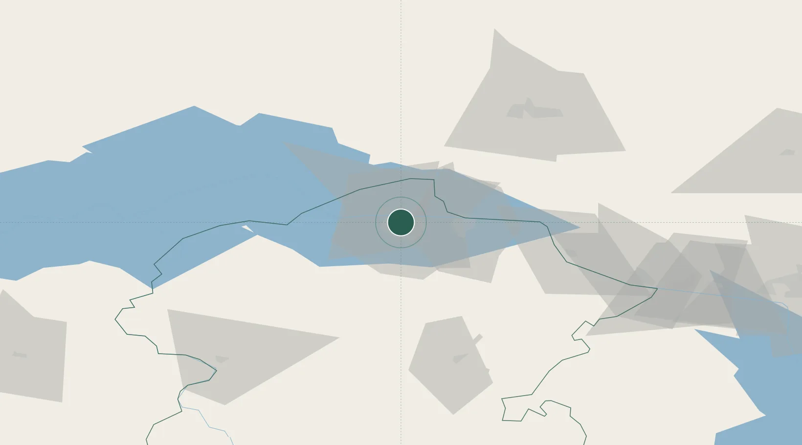
Place type
Regional capital
Region
Chuvash Republic
Population
492,331
Time zone
Europe/Moscow
Elevation
141 m
Location
Nearby Logistics Neighbours
Cities
- 1Mariinskiy Posad30 km
- 2Shelanger63 km
- 3Volzhsk72 km
- 4Zelënodol'sk87 km
- 5Vetluzhskiy173 km
Ports
- 1Arkhangels'k1003 km
- 2Severodvinsk1023 km
- 3Mezen1091 km
- 4Rostov-Na-Donu1122 km
- 5Azov1138 km
Airports
- 1Cheboksary Airport9 km
- 2Yoshkar-Ola Airport75 km
- 3Danilovo Air Base77 km
- 4Borisoglebskoye Airport122 km
- 5Kazan International Airport140 km
DatabookThe Record of Consolidated Knowledge
Russia beyond logistics?