Transport Functions
Port
Hub Profile
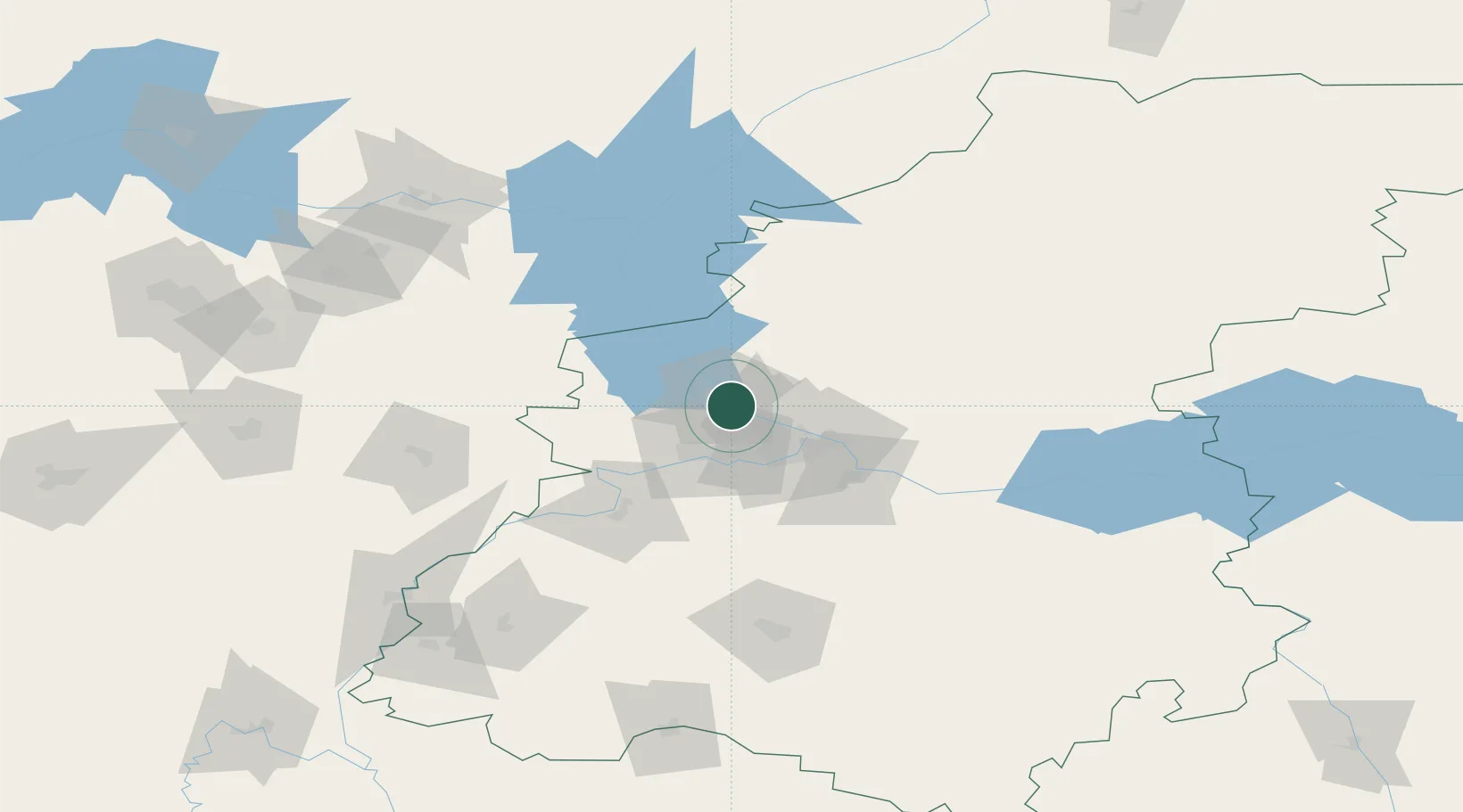
Place type
Populated place
Region
Ivanovo Oblast
Time zone
Europe/Moscow
Elevation
160 m
Location
Nearby Logistics Neighbours
Cities
- 1Zavolzh'ye23 km
- 2Pavlovo68 km
- 3Vetluzhskiy119 km
- 4Vichuga131 km
- 5Murom143 km
Ports
- 1Arkhangels'k910 km
- 2Severodvinsk924 km
- 3Mezen1040 km
- 4Rostov-Na-Donu1070 km
- 5Taganrog1080 km
Airports
- 1Sormovo Airfield21 km
- 2Nizhny Novgorod / Strigino International Airport30 km
- 3Mius Airport171 km
- 4Ivanovo South Airport171 km
- 5Ivanovo North Air Base173 km
DatabookThe Record of Consolidated Knowledge
Russia beyond logistics?