Medium airport · Russia
Yoshkar-Ola AirportUWKJ
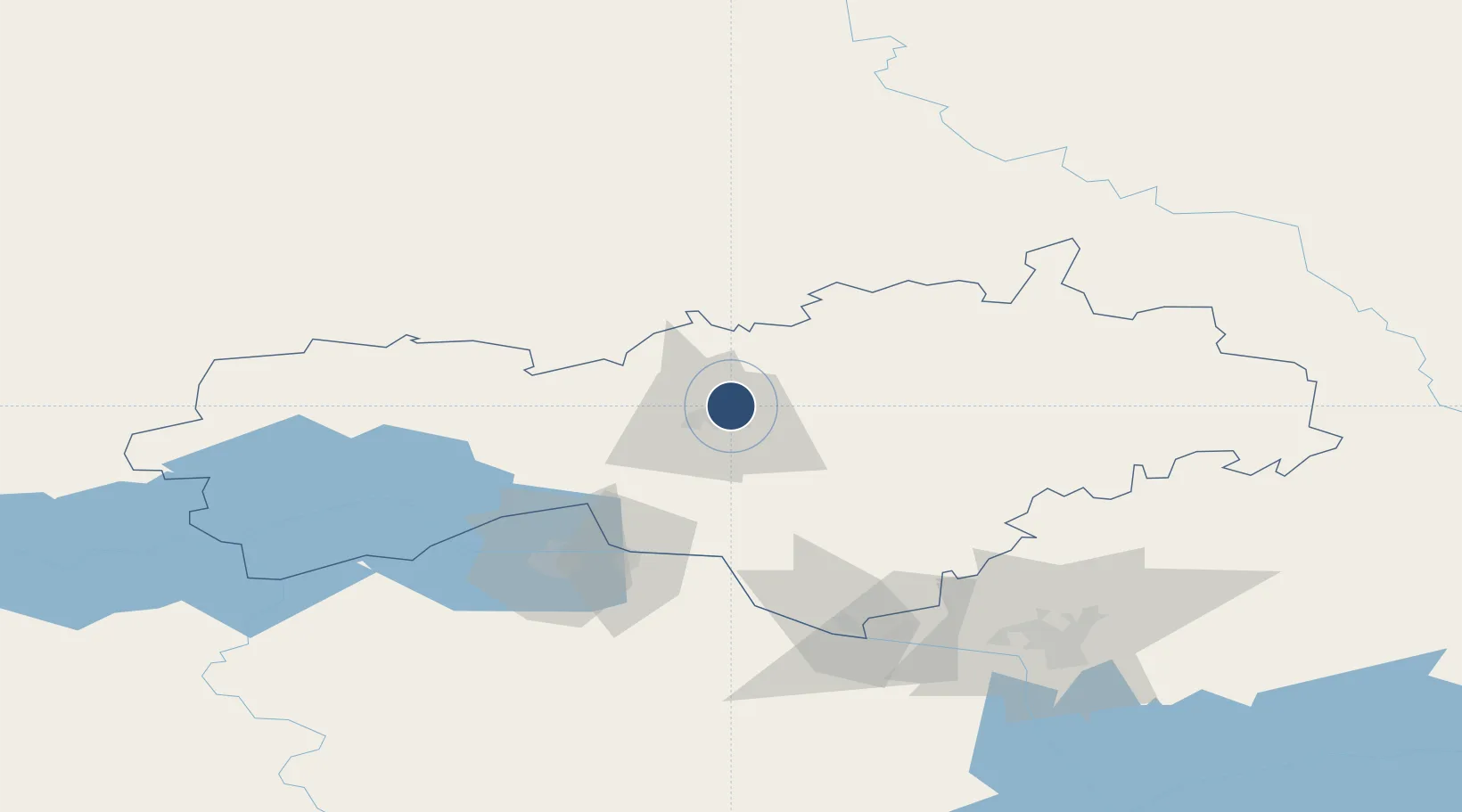
56.7006°, 47.9047°
7,874 ft
Longest runway
1
Runways
348 ft
Elevation
Runway & Layout

Runways · 1
| Runway | Dimensions | Surface | True heading | Lit |
|---|---|---|---|---|
| 16/34 | 7,874 × —ft | Asphalt | — | — |
Airport Specifications
IATA code
JOK
ICAO code
UWKJ
Airport class
Medium airport
Scheduled service
No
Runway surface
Asphalt
Served city
Yoshkar-Ola
Location
Nearby Logistics Neighbours
Airports
- 1Danilovo Air Base9 km
- 2Cheboksary Airport76 km
- 3Borisoglebskoye Airport120 km
- 4Kazan International Airport149 km
- 5Pobedilovo Airport218 km
Cities
- 1Shelanger58 km
- 2Mariinskiy Posad68 km
- 3Cheboksary75 km
- 4Volzhsk99 km
- 5Zelënodol'sk104 km
Ports
- 1Arkhangels'k958 km
- 2Severodvinsk980 km
- 3Mezen1034 km
- 4Rostov-Na-Donu1198 km
- 5Azov1213 km
DatabookThe Record of Consolidated Knowledge
Russia beyond logistics?