Transport Functions
Multimodal
Postal
Hub Profile
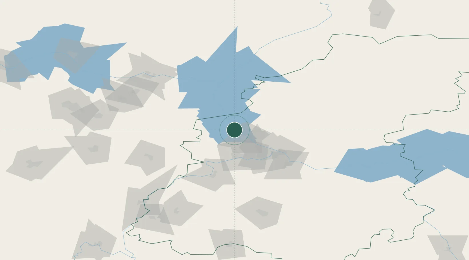
Place type
Populated place
Region
Nizhny Novgorod Oblast
Population
42,900
Time zone
Europe/Moscow
Elevation
80 m
Location
Nearby Logistics Neighbours
Cities
- 1Balakhna23 km
- 2Pavlovo80 km
- 3Vichuga109 km
- 4Vetluzhskiy119 km
- 5Gorkino123 km
Ports
- 1Arkhangels'k890 km
- 2Severodvinsk903 km
- 3Mezen1022 km
- 4Rostov-Na-Donu1084 km
- 5Taganrog1094 km
Airports
- 1Sormovo Airfield44 km
- 2Nizhny Novgorod / Strigino International Airport53 km
- 3Ivanovo South Airport153 km
- 4Ivanovo North Air Base154 km
- 5Mius Airport188 km
DatabookThe Record of Consolidated Knowledge
Russia beyond logistics?