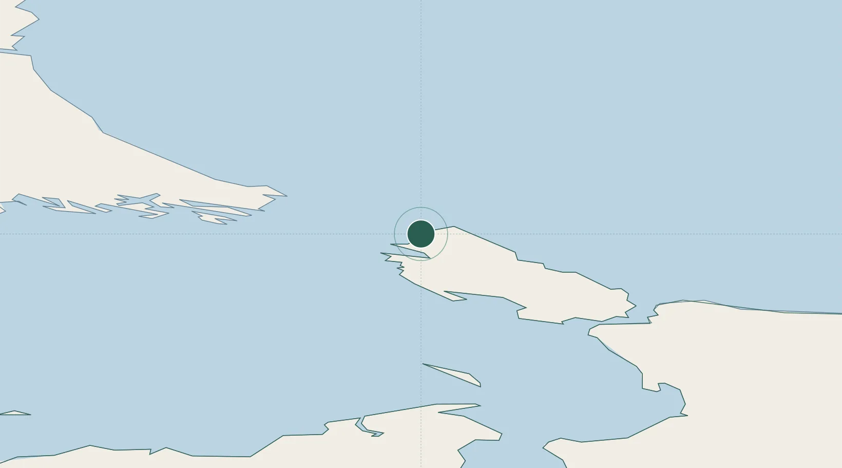
UN/LOCODE hub · Russia
RUVAY

Vaygach

70.4167°, 58.7500°
1
Transport functions

Transport Functions

Port
UN/LOCODE

Hub Profile

Place type
Populated place
GeoNames
Region
Nenets
GeoNames
Time zone
Europe/Moscow
GeoNames
Elevation
30 m
GeoNames

Location

Location of RUVAY
Natural Earth 10m (public domain) · Nenets · RUVAY · 70.42, 58.75GoogleOSMYandex

Nearby Logistics Neighbours

Cities
  1. 1Amderma132 km
  2. 2Varandey184 km
  3. 3Kharasavey303 km
  4. 4Kolguyev Island398 km
  5. 5Indiga494 km
Nearest neighbours — logibook spatial index (haversine) over the source coordinates
Ports
  1. 1Mezen786 km
  2. 2Ostrovnoy Gremikha798 km
  3. 3Port Dikson818 km
  4. 4Murmansk996 km
  5. 5Arkhangels'k1009 km
Nearest neighbours — logibook spatial index (haversine) over the source coordinates
Airports
  1. 1Amderma Airport129 km
  2. 2Rogachyovo Air Base263 km
  3. 3Naryan Mar Airport381 km
  4. 4Vorkuta Airport387 km
  5. 5Vorkuta Sovetskiy Air Base396 km
Nearest neighbours — logibook spatial index (haversine) over the source coordinates
DatabookThe Record of Consolidated Knowledge
Russia beyond logistics?
Browse databook

All Sources

LocationsUN/LOCODE
UN/LOCODE — free
Portsthe NGA World Port Index
Public domain (US gov)
AirportsOurAirports
Public domain
Trade Zonesthe World Bank SEZ database
CC BY 4.0
Trade ZonesOpen Zone Map
CC BY
← Russia locations