Transport Functions
Port
Road
Hub Profile
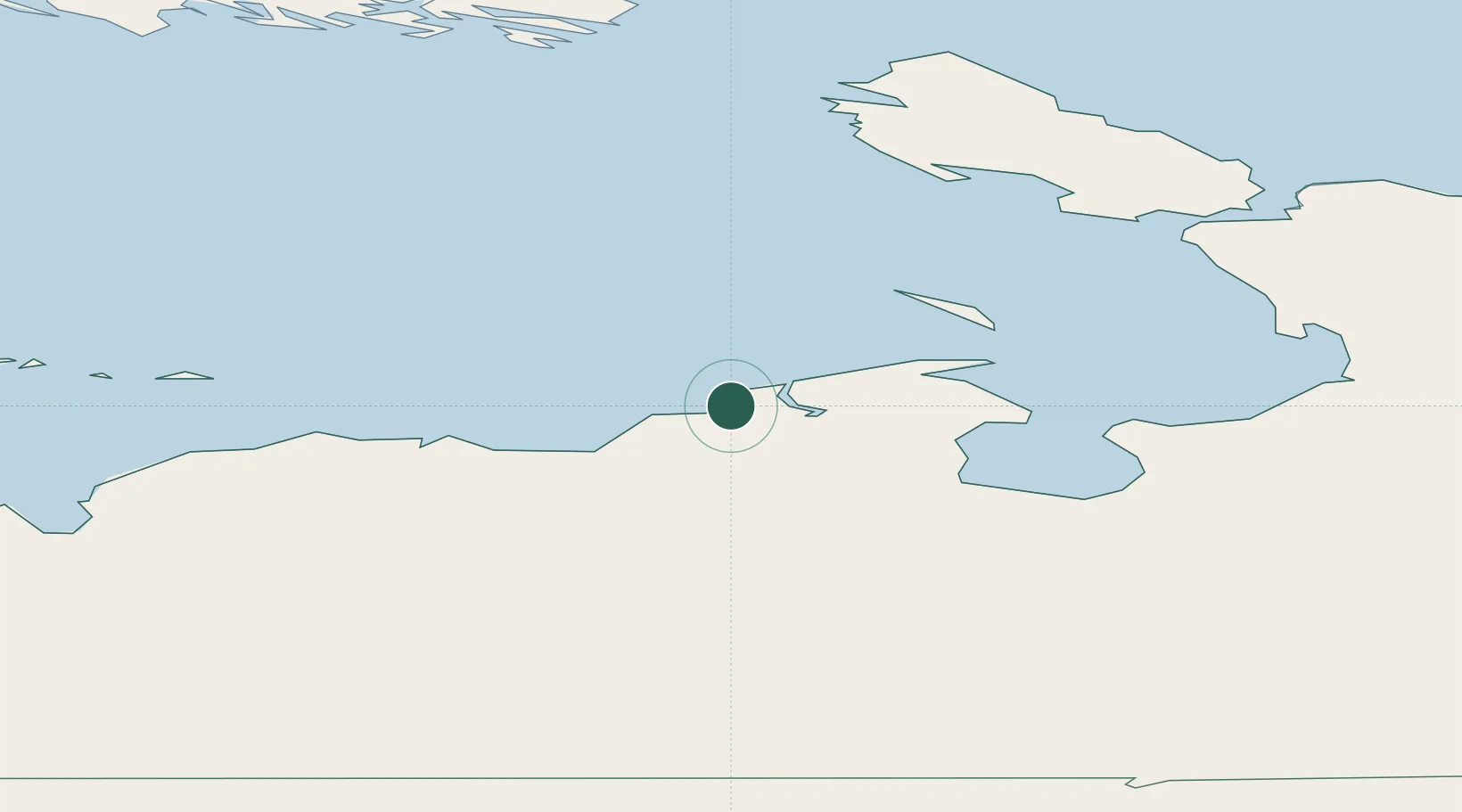
Place type
Populated place
Region
Nenets
Time zone
Europe/Moscow
Elevation
16 m
Location
Nearby Logistics Neighbours
Cities
- 1Amderma182 km
- 2Vaygach184 km
- 3Kolguyev Island354 km
- 4Indiga391 km
- 5Kharasavey422 km
Ports
- 1Mezen675 km
- 2Ostrovnoy Gremikha756 km
- 3Arkhangels'k898 km
- 4Severodvinsk923 km
- 5Port Dikson956 km
Airports
- 1Amderma Airport178 km
- 2Naryan Mar Airport237 km
- 3Vorkuta Airport287 km
- 4Vorkuta Sovetskiy Air Base300 km
- 5Usinsk Airport310 km
DatabookThe Record of Consolidated Knowledge
Russia beyond logistics?