Transport Functions
Port
Hub Profile
Region
NEN
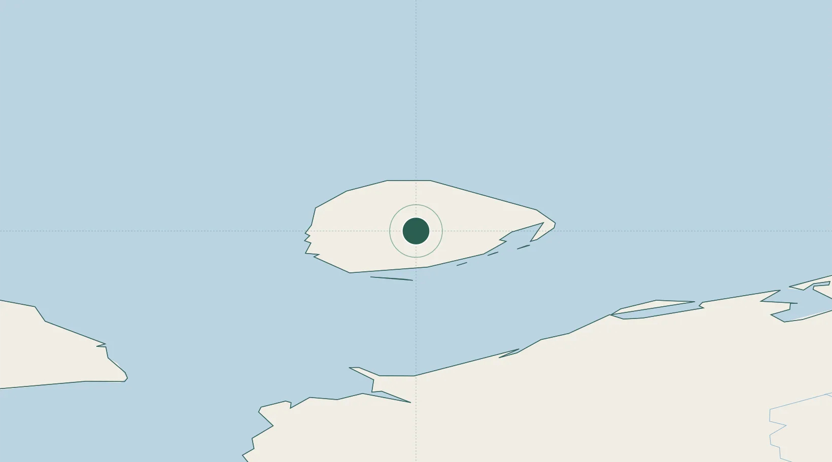
Location
Nearby Logistics Neighbours
Cities
- 1Indiga160 km
- 2Nizhnyaya Pesha266 km
- 3Varandey354 km
- 4Vaygach398 km
- 5Amderma494 km
Ports
- 1Ostrovnoy Gremikha407 km
- 2Mezen419 km
- 3Arkhangels'k631 km
- 4Murmansk639 km
- 5Severodvinsk646 km
Airports
- 1Naryan Mar Airport229 km
- 2Rogachyovo Air Base308 km
- 3Ust-Tsylma Airport426 km
- 4Usinsk Airport488 km
- 5Leshukonskoye Airport489 km
DatabookThe Record of Consolidated Knowledge
Russia beyond logistics?