Transport Functions
Port
Hub Profile
Region
NEN
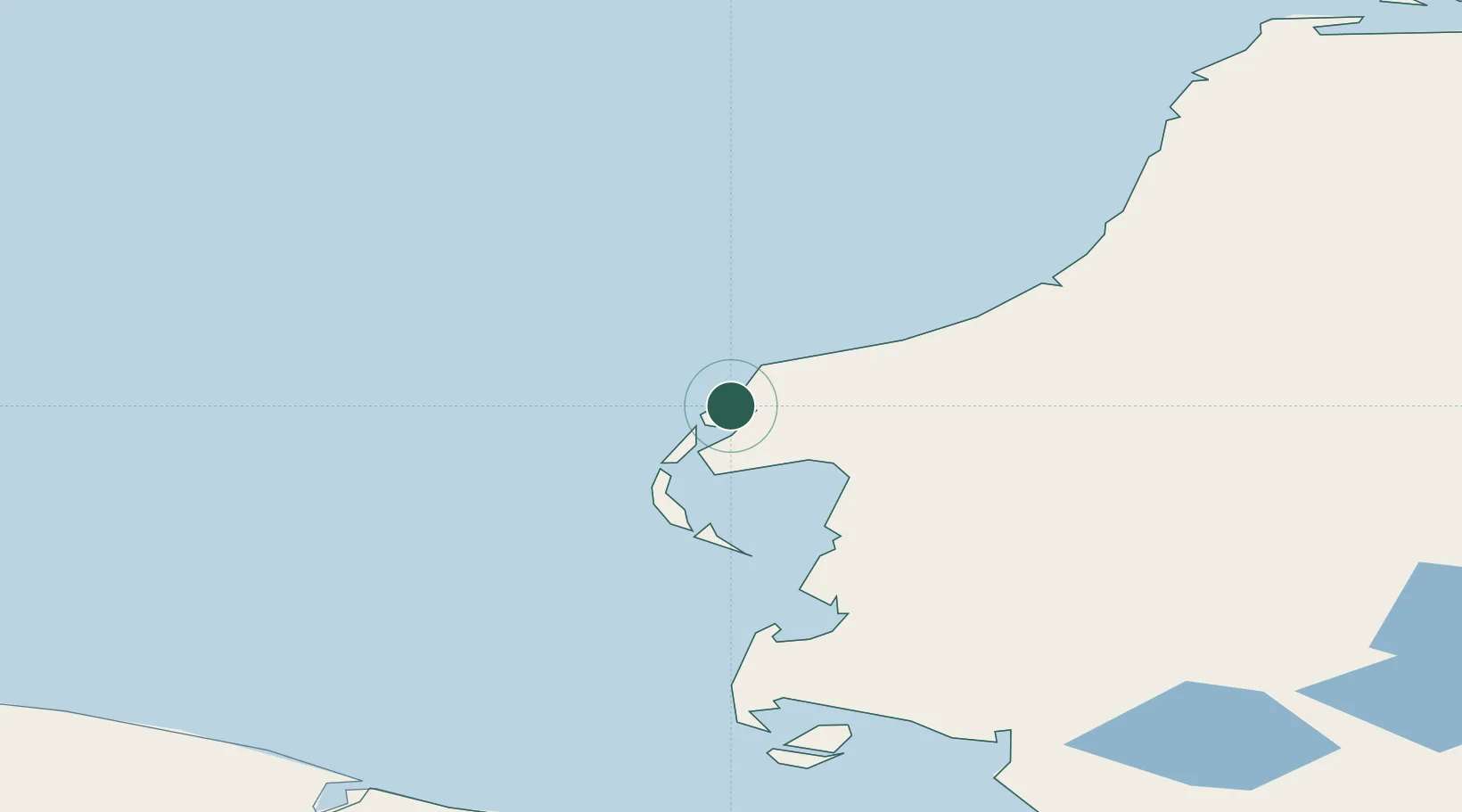
Location
Nearby Logistics Neighbours
Ports
- 1Port Dikson534 km
- 2Dudinka749 km
- 3Igarka873 km
- 4Mezen1082 km
- 5Ostrovnoy Gremikha1099 km
Airports
- 1Bovanenkovo Airport105 km
- 2Sabetta International Airport190 km
- 3Amderma Airport244 km
- 4Utrenniy Airport271 km
- 5Vorkuta Sovetskiy Air Base416 km
DatabookThe Record of Consolidated Knowledge
Russia beyond logistics?