Medium airport · Russia
Vorkuta AirportUUYW
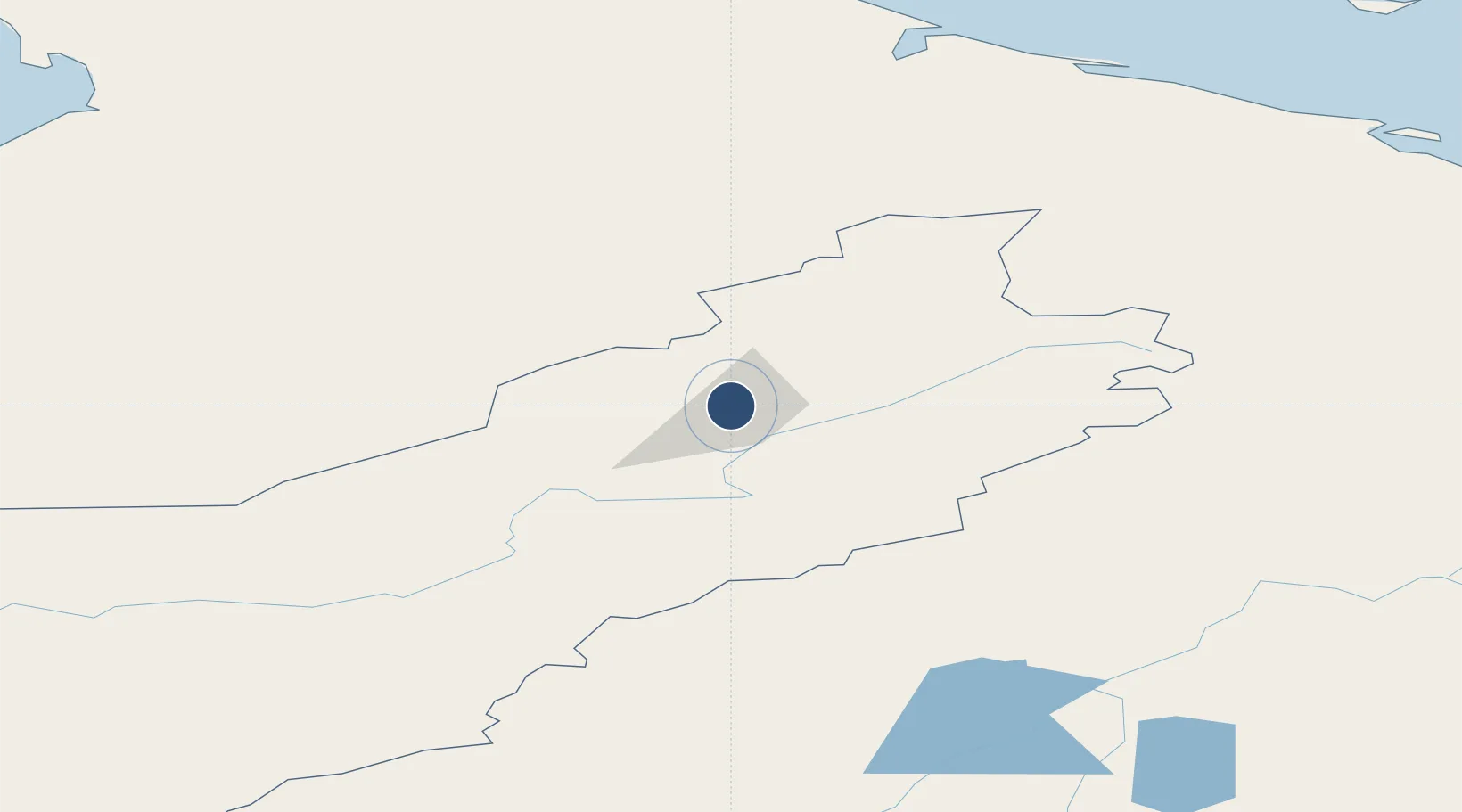
67.4886°, 63.9931°
7,218 ft
Longest runway
1
Runways
604 ft
Elevation
Runway & Layout

Runways · 1
| Runway | Dimensions | Surface | True heading | Lit |
|---|---|---|---|---|
| 08/26 | 7,218 × 157ft | Concrete | — | ✓ |
Airport Specifications
IATA code
VKT
ICAO code
UUYW
Airport class
Medium airport
Scheduled service
Yes
Runway surface
Concrete
Served city
Vorkuta
Location
Nearby Logistics Neighbours
Airports
- 1Vorkuta Sovetskiy Air Base14 km
- 2Salekhard Airport151 km
- 3Inta Airport233 km
- 4Amderma Airport272 km
- 5Usinsk Airport334 km
Cities
- 1Salekhard157 km
- 2Amderma270 km
- 3Varandey287 km
- 4Vaygach387 km
- 5Kharasavey416 km
Ports
- 1Mezen888 km
- 2Port Dikson902 km
- 3Dudinka925 km
- 4Igarka957 km
- 5Ostrovnoy Gremikha1024 km
DatabookThe Record of Consolidated Knowledge
Russia beyond logistics?