Transport Functions
Port
Airport
Hub Profile
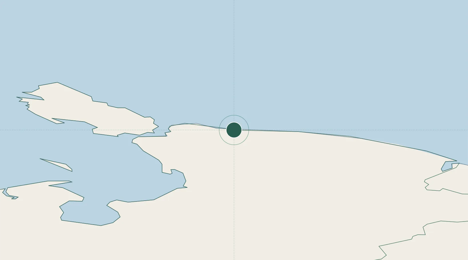
Place type
Populated place
Region
Nenets
Population
609
Time zone
Europe/Moscow
Elevation
28 m
Location
Nearby Logistics Neighbours
Cities
- 1Vaygach132 km
- 2Varandey182 km
- 3Kharasavey241 km
- 4Salekhard415 km
- 5Polnovat690 km
Ports
- 1Port Dikson775 km
- 2Mezen850 km
- 3Ostrovnoy Gremikha901 km
- 4Arkhangels'k1075 km
- 5Severodvinsk1098 km
Airports
- 1Amderma Airport4 km
- 2Bovanenkovo Airport260 km
- 3Vorkuta Airport270 km
- 4Vorkuta Sovetskiy Air Base278 km
- 5Rogachyovo Air Base395 km
DatabookThe Record of Consolidated Knowledge
Russia beyond logistics?