Transport Functions
Port
Hub Profile
Place type
Populated place
Region
Nenets
Time zone
Europe/Moscow
Elevation
33 m
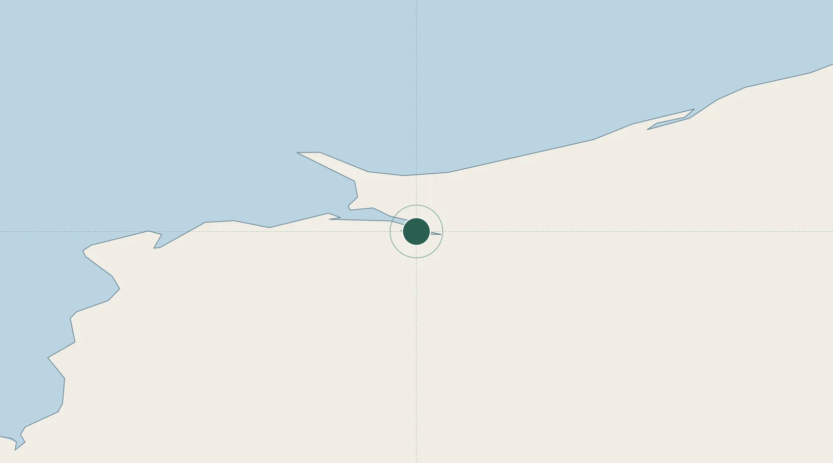
Location
Nearby Logistics Neighbours
Cities
- 1Nizhnyaya Pesha114 km
- 2Kolguyev Island160 km
- 3Varandey391 km
- 4Vaygach494 km
- 5Ekonomiya499 km
Ports
- 1Mezen293 km
- 2Ostrovnoy Gremikha400 km
- 3Arkhangels'k516 km
- 4Severodvinsk538 km
- 5Murmansk670 km
Airports
- 1Naryan Mar Airport174 km
- 2Ust-Tsylma Airport284 km
- 3Leshukonskoye Airport340 km
- 4Izhma Airport365 km
- 5Usinsk Airport408 km
DatabookThe Record of Consolidated Knowledge
Russia beyond logistics?