UN/LOCODE hub · Russia
RUVZH

Volzhsk

55.8333°, 48.2500°
58,000
Population
3
Transport functions

Transport Functions

Port
Rail
Road
UN/LOCODE

Hub Profile

Place type
Provincial seat
GeoNames
Region
Mariy-El Republic
GeoNames
Population
58,000
GeoNames
Time zone
Europe/Moscow
GeoNames
Elevation
60 m
GeoNames

Location

Location of RUVZH
Natural Earth 10m (public domain) · Mariy-El Republic · RUVZH · 55.83, 48.25GoogleOSMYandex

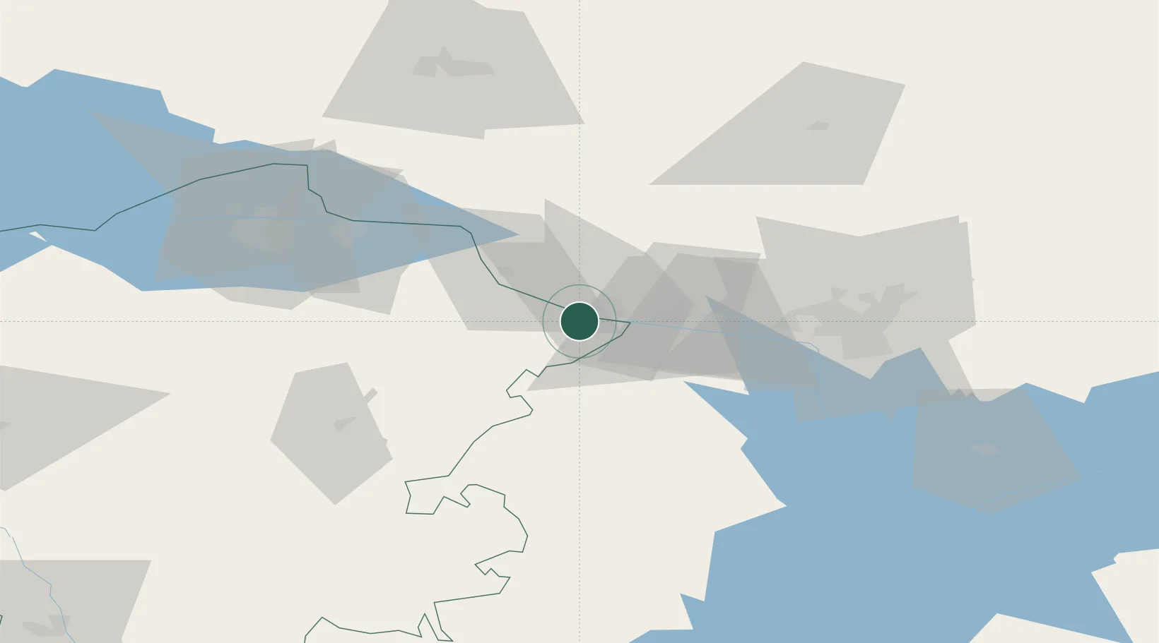
Nearby Logistics Neighbours

Cities
  1. 1Zelënodol'sk17 km
  2. 2Shelanger43 km
  3. 3Mariinskiy Posad45 km
  4. 4Cheboksary72 km
  5. 5Baskan163 km
Nearest neighbours — logibook spatial index (haversine) over the source coordinates
Ports
  1. 1Arkhangels'k1055 km
  2. 2Severodvinsk1077 km
  3. 3Rostov-Na-Donu1128 km
  4. 4Mezen1133 km
  5. 5Azov1145 km
Nearest neighbours — logibook spatial index (haversine) over the source coordinates
Airports
  1. 1Borisoglebskoye Airport55 km
  2. 2Cheboksary Airport63 km
  3. 3Kazan International Airport69 km
  4. 4Danilovo Air Base93 km
  5. 5Yoshkar-Ola Airport99 km
Nearest neighbours — logibook spatial index (haversine) over the source coordinates
DatabookThe Record of Consolidated Knowledge
Russia beyond logistics?
Browse databook

All Sources

LocationsUN/LOCODE
UN/LOCODE — free
LocationsGeoNames
CC BY 4.0
Portsthe NGA World Port Index
Public domain (US gov)
AirportsOurAirports
Public domain
Trade Zonesthe World Bank SEZ database
CC BY 4.0
Trade ZonesOpen Zone Map
CC BY
← Russia locations