Large airport · Russia
Ulyanovsk Baratayevka AirportUWLL
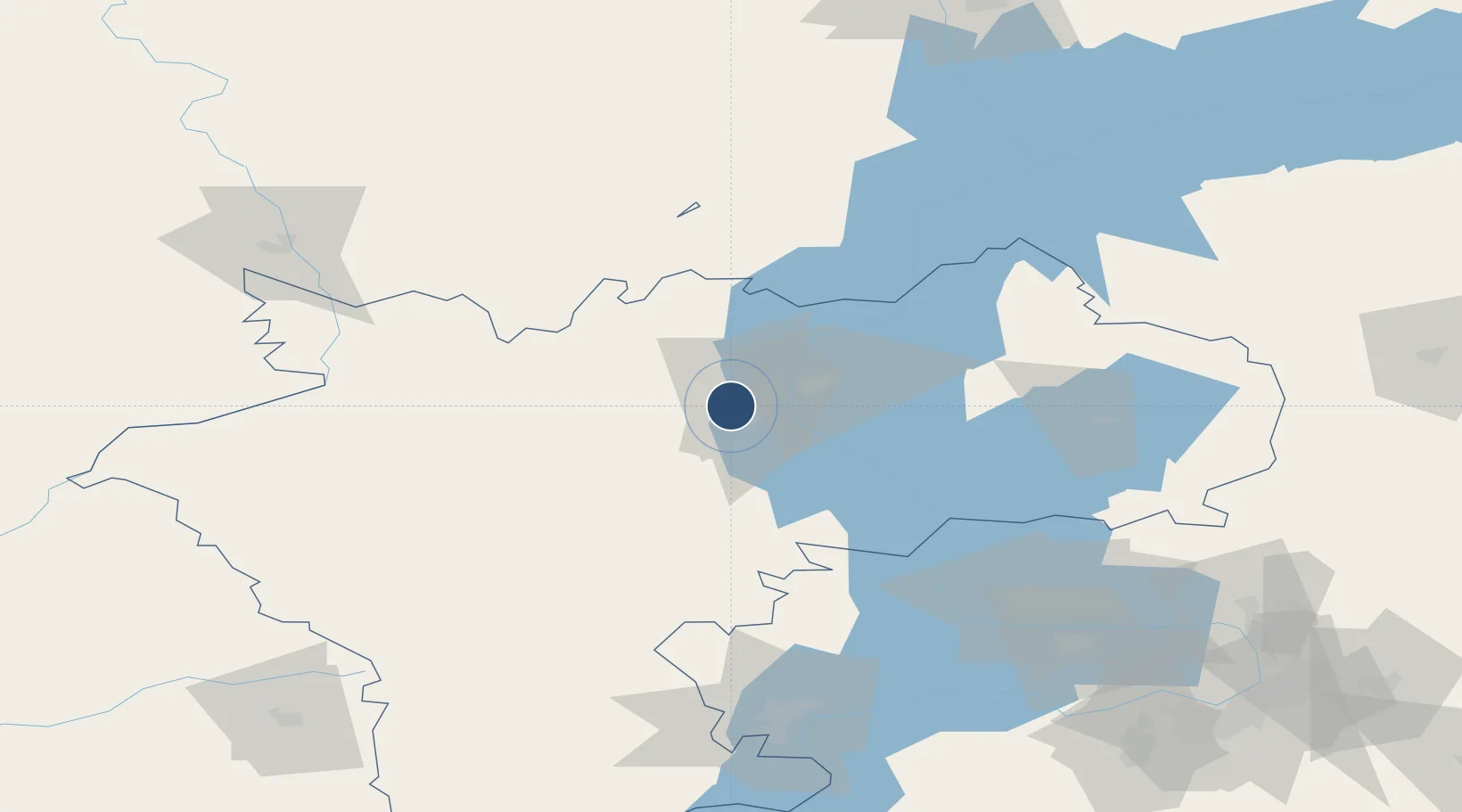
54.2683°, 48.2267°
12,533 ft
Longest runway
1
Runways
449 ft
Elevation
Runway & Layout

Radio Frequencies
ATIS
128.85 MHz
TWR
131.3 MHz
GND
121.8 MHz
CTR
120.8 MHz
Ulyanovsk RADAR
START
120.4 MHz
Runways · 1
| Runway | Dimensions | Surface | True heading | Lit |
|---|---|---|---|---|
| 03/21 | 12,533 × 148ft | Concrete | 019° | ✓ |
Airport Specifications
IATA code
ULV
ICAO code
UWLL
Airport class
Large airport
Scheduled service
Yes
Runway surface
Concrete
Served city
Ulyanovsk
Location
Nearby Logistics Neighbours
Airports
- 1Ulyanovsk Vostochny Airport40 km
- 2Kurumoch International Airport153 km
- 3Kazan International Airport163 km
- 4Samara Kryazh Air Base178 km
- 5Bezymyanka Airfield181 km
Cities
- 1Ulyanovsk (Simbirsk)9 km
- 2Tolyatti112 km
- 3Tol'yatti122 km
- 4Volzhsk174 km
- 5Zelënodol'sk175 km
Ports
- 1Rostov-Na-Donu990 km
- 2Azov1008 km
- 3Taganrog1020 km
- 4Yeysk1093 km
- 5Mariupol1094 km
DatabookThe Record of Consolidated Knowledge
Russia beyond logistics?