Transport Functions
Rail
Road
Hub Profile
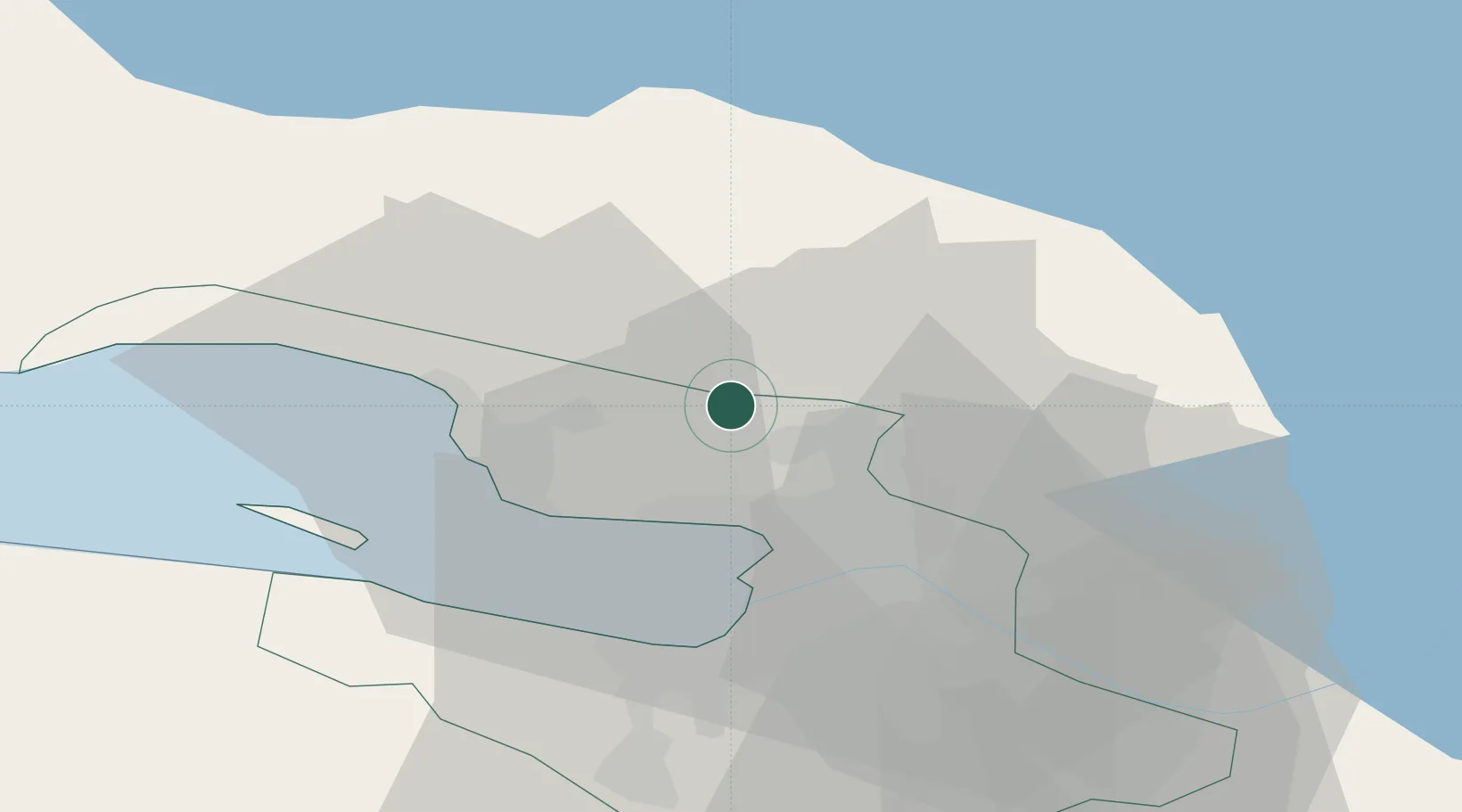
Place type
Populated place
Region
Leningradskaya Oblast'
Population
43,622
Time zone
Europe/Moscow
Elevation
48 m
Location
Nearby Logistics Neighbours
Cities
- 1Pargolovo8 km
- 2Sestroretsk14 km
- 3Gorskaya16 km
- 4Kronshtadt28 km
- 5Kronstadt28 km
Ports
- 1Kronshtadt29 km
- 2Lomonosov34 km
- 3Primorsk90 km
- 4Vyborg103 km
- 5Gavan Vysotsk105 km
Airports
- 1Levashovo Air Base5 km
- 2Pulkovo Airport37 km
- 3Pushkin Airport50 km
- 4Pribylovo Naval Air Base88 km
- 5Lappeenranta Airport151 km
Trade Zones
DatabookThe Record of Consolidated Knowledge
Russia beyond logistics?