Transport Functions
Rail
Road
Hub Profile
Place type
Populated place
Region
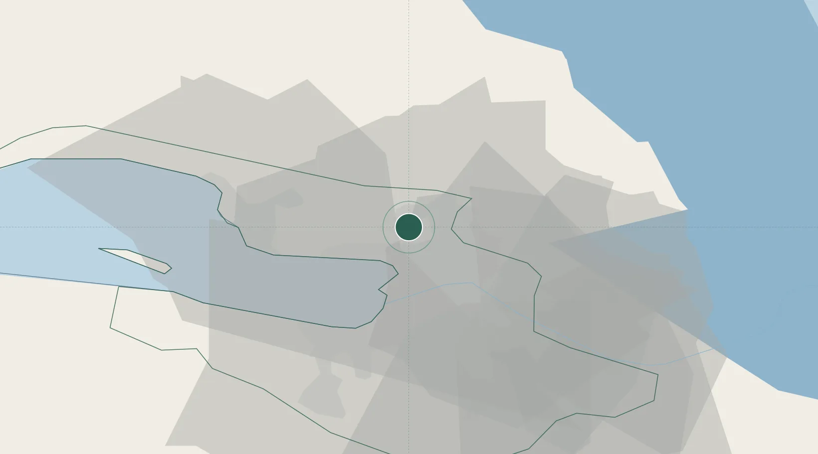
St.-Petersburg
Population
11,962
Time zone
Europe/Moscow
Elevation
38 m
Location
Nearby Logistics Neighbours
Cities
- 1Sertolovo8 km
- 2Gorskaya17 km
- 3Sestroretsk18 km
- 4Vsevolozhsk22 km
- 5Saint Petersburg (ex Leningrad)23 km
Ports
- 1Kronshtadt28 km
- 2Lomonosov32 km
- 3Primorsk96 km
- 4Vyborg110 km
- 5Gavan Vysotsk112 km
Airports
- 1Levashovo Air Base5 km
- 2Pulkovo Airport30 km
- 3Pushkin Airport43 km
- 4Pribylovo Naval Air Base95 km
- 5Lappeenranta Airport159 km
Trade Zones
DatabookThe Record of Consolidated Knowledge
Russia beyond logistics?