Transport Functions
Rail
Road
Hub Profile
Place type
Populated place
Region
Leningradskaya Oblast'
Time zone
Europe/Moscow
Elevation
68 m
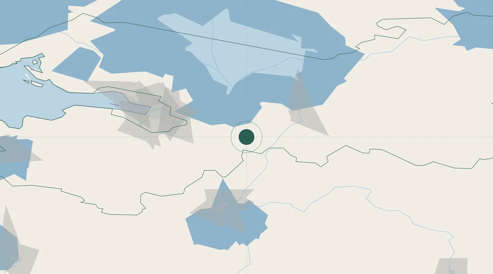
Location
Nearby Logistics Neighbours
Ports
- 1Lomonosov111 km
- 2Kronshtadt113 km
- 3Ust Luga185 km
- 4Primorsk188 km
- 5Vyborg204 km
Airports
- 1Pushkin Airport73 km
- 2Pulkovo Airport80 km
- 3Levashovo Air Base99 km
- 4Krechevitsy Air Base104 km
- 5Soltsy-2 Air Base173 km
Trade Zones
DatabookThe Record of Consolidated Knowledge
Russia beyond logistics?