UN/LOCODE hub · Russia
RUKIR

Kirishi

59.4500°, 32.0167°
56,190
Population
2
Transport functions

Transport Functions

Rail
Road
UN/LOCODE

Hub Profile

Place type
Provincial seat
GeoNames
Region
Leningradskaya Oblast'
GeoNames
Population
56,190
GeoNames
Time zone
Europe/Moscow
GeoNames
Elevation
25 m
GeoNames

Location

Location of RUKIR
Natural Earth 10m (public domain) · Leningradskaya Oblast' · RUKIR · 59.45, 32.02GoogleOSMYandex

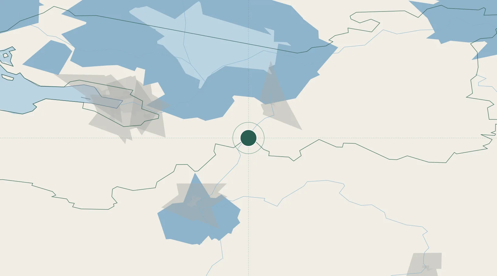
Nearby Logistics Neighbours

Cities
  1. 1Shala26 km
  2. 2Chudovo42 km
  3. 3Tosno64 km
  4. 4Kolpino86 km
  5. 5Tihvin87 km
Nearest neighbours — logibook spatial index (haversine) over the source coordinates
Ports
  1. 1Lomonosov137 km
  2. 2Kronshtadt139 km
  3. 3Ust Luga210 km
  4. 4Primorsk214 km
  5. 5Vyborg229 km
Nearest neighbours — logibook spatial index (haversine) over the source coordinates
Airports
  1. 1Pushkin Airport98 km
  2. 2Krechevitsy Air Base99 km
  3. 3Pulkovo Airport106 km
  4. 4Levashovo Air Base124 km
  5. 5Staraya Russa Air Base170 km
Nearest neighbours — logibook spatial index (haversine) over the source coordinates
Trade Zones
  1. 1St Petersburg Technology Innovative Special Economic Zone122 km
  2. 2Port of Sillamäe243 km
  3. 3Free Zone of Lappeenranta279 km
  4. 4Moglino Special Economic Zone - Industrial293 km
  5. 5Port of Hamina-Kotka305 km
Nearest neighbours — logibook spatial index (haversine) over the source coordinates
DatabookThe Record of Consolidated Knowledge
Russia beyond logistics?
Browse databook

All Sources

LocationsUN/LOCODE
UN/LOCODE — free
LocationsGeoNames
CC BY 4.0
Portsthe NGA World Port Index
Public domain (US gov)
AirportsOurAirports
Public domain
Trade Zonesthe World Bank SEZ database
CC BY 4.0
Trade ZonesOpen Zone Map
CC BY
← Russia locations