Transport Functions
Multimodal
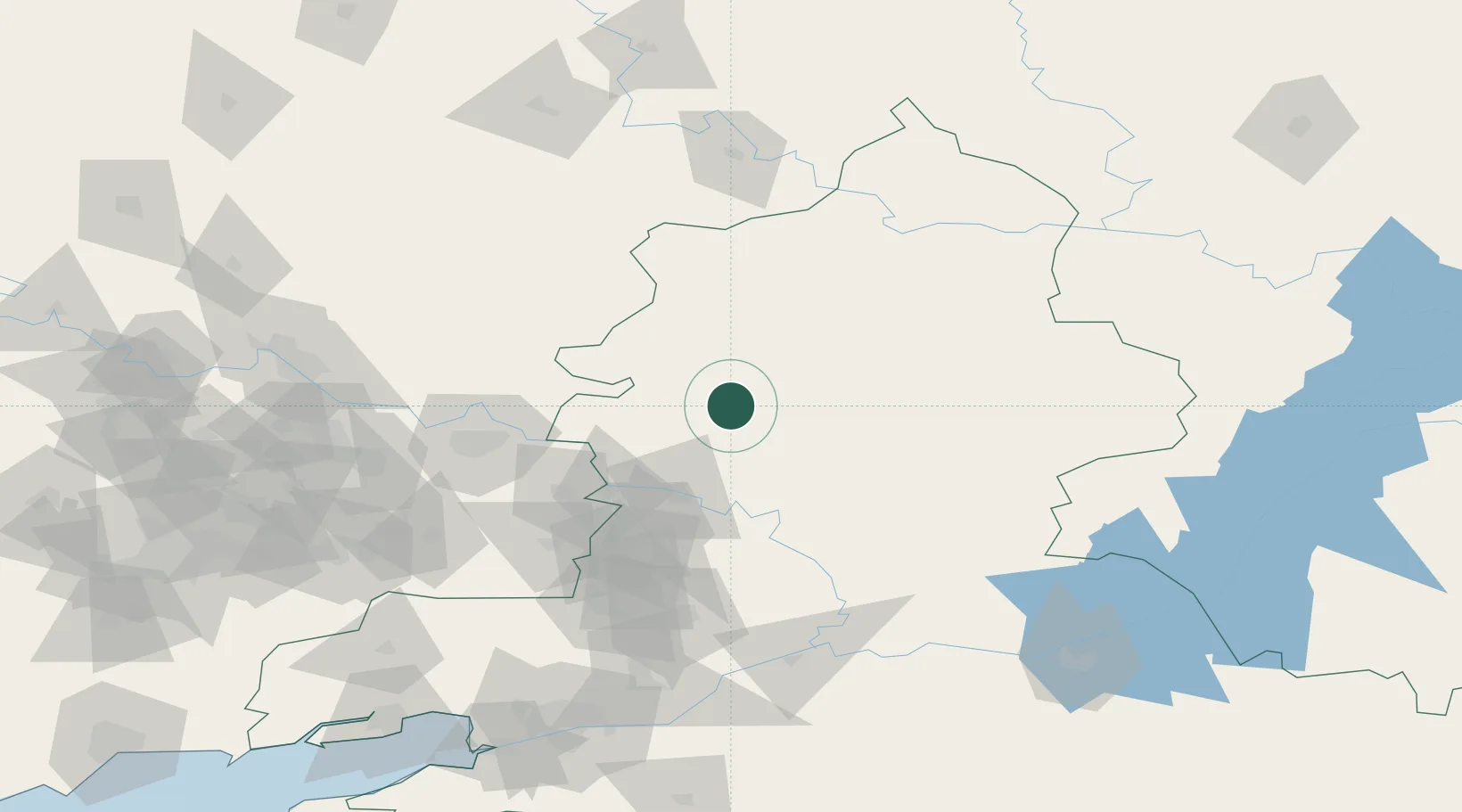
Hub Profile
Place type
Populated place
Region
Rostov
Time zone
Europe/Moscow
Elevation
108 m
Location
Nearby Logistics Neighbours
Cities
- 1Donetsk62 km
- 2Belaya Kalitva68 km
- 3Krasnyy Sulin98 km
- 4Dovzhansk99 km
- 5Novoshakhtinsk119 km
Ports
- 1Rostov-Na-Donu186 km
- 2Azov200 km
- 3Taganrog208 km
- 4Yeysk280 km
- 5Mariupol288 km
Airports
- 1Millerovo Air Base28 km
- 2Platov International Airport146 km
- 3Rostov-on-Don Central Air Base176 km
- 4Taganrog Tsentralny Air Base209 km
- 5Taganrog Yuzhny Airport213 km
DatabookThe Record of Consolidated Knowledge
Russia beyond logistics?