UN/LOCODE hub · Russia
RUPVY

Pavlovskiy Posad

55.7833°, 38.6500°
60,051
Population
1
Transport functions

Transport Functions

Multimodal
UN/LOCODE

Hub Profile

Place type
Populated place
GeoNames
Region
Moscow Oblast
GeoNames
Population
60,051
GeoNames
Time zone
Europe/Moscow
GeoNames
Elevation
130 m
GeoNames

Location

Location of RUPVY
Natural Earth 10m (public domain) · Moscow Oblast · RUPVY · 55.78, 38.65GoogleOSMYandex

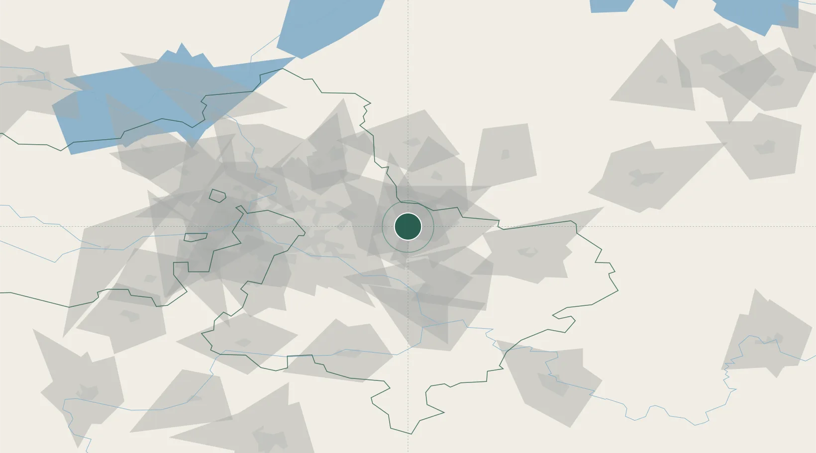
Nearby Logistics Neighbours

Cities
  1. 1Elektrogorsk14 km
  2. 2Orekhovo-Zuevo20 km
  3. 3Balobanovo27 km
  4. 4Ramenskoye40 km
  5. 5Fryazino43 km
Nearest neighbours — logibook spatial index (haversine) over the source coordinates
Ports
  1. 1Lomonosov697 km
  2. 2Kronshtadt701 km
  3. 3Ust Luga749 km
  4. 4Primorsk777 km
  5. 5Vyborg796 km
Nearest neighbours — logibook spatial index (haversine) over the source coordinates
Airports
  1. 1Chkalovskiy Air Base38 km
  2. 2Zhukovsky International Airport41 km
  3. 3Myachkovo Airfield49 km
  4. 4Domodedovo International Airport63 km
  5. 5Sheremetyevo International Airport80 km
Nearest neighbours — logibook spatial index (haversine) over the source coordinates
DatabookThe Record of Consolidated Knowledge
Russia beyond logistics?
Browse databook

All Sources

LocationsUN/LOCODE
UN/LOCODE — free
LocationsGeoNames
CC BY 4.0
Portsthe NGA World Port Index
Public domain (US gov)
AirportsOurAirports
Public domain
Trade Zonesthe World Bank SEZ database
CC BY 4.0
Trade ZonesOpen Zone Map
CC BY
← Russia locations