Transport Functions
Port
Multimodal
Hub Profile
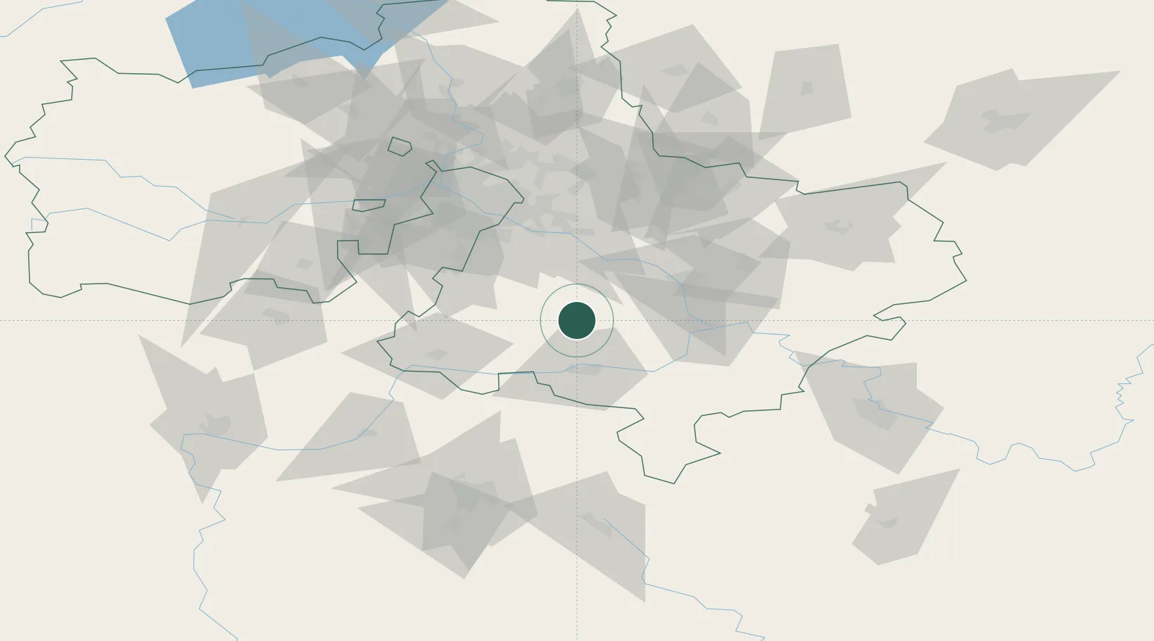
Place type
Populated place
Region
Moscow Oblast
Population
4,327
Time zone
Europe/Moscow
Elevation
157 m
Location
Nearby Logistics Neighbours
Ports
- 1Lomonosov733 km
- 2Kronshtadt737 km
- 3Ust Luga777 km
- 4Primorsk813 km
- 5Gavan Vysotsk834 km
Airports
DatabookThe Record of Consolidated Knowledge
Russia beyond logistics?