Transport Functions
Rail
Road
Hub Profile
Place type
Provincial seat
Region
Moscow Oblast
Population
77,086
Time zone
Europe/Moscow
Elevation
127 m
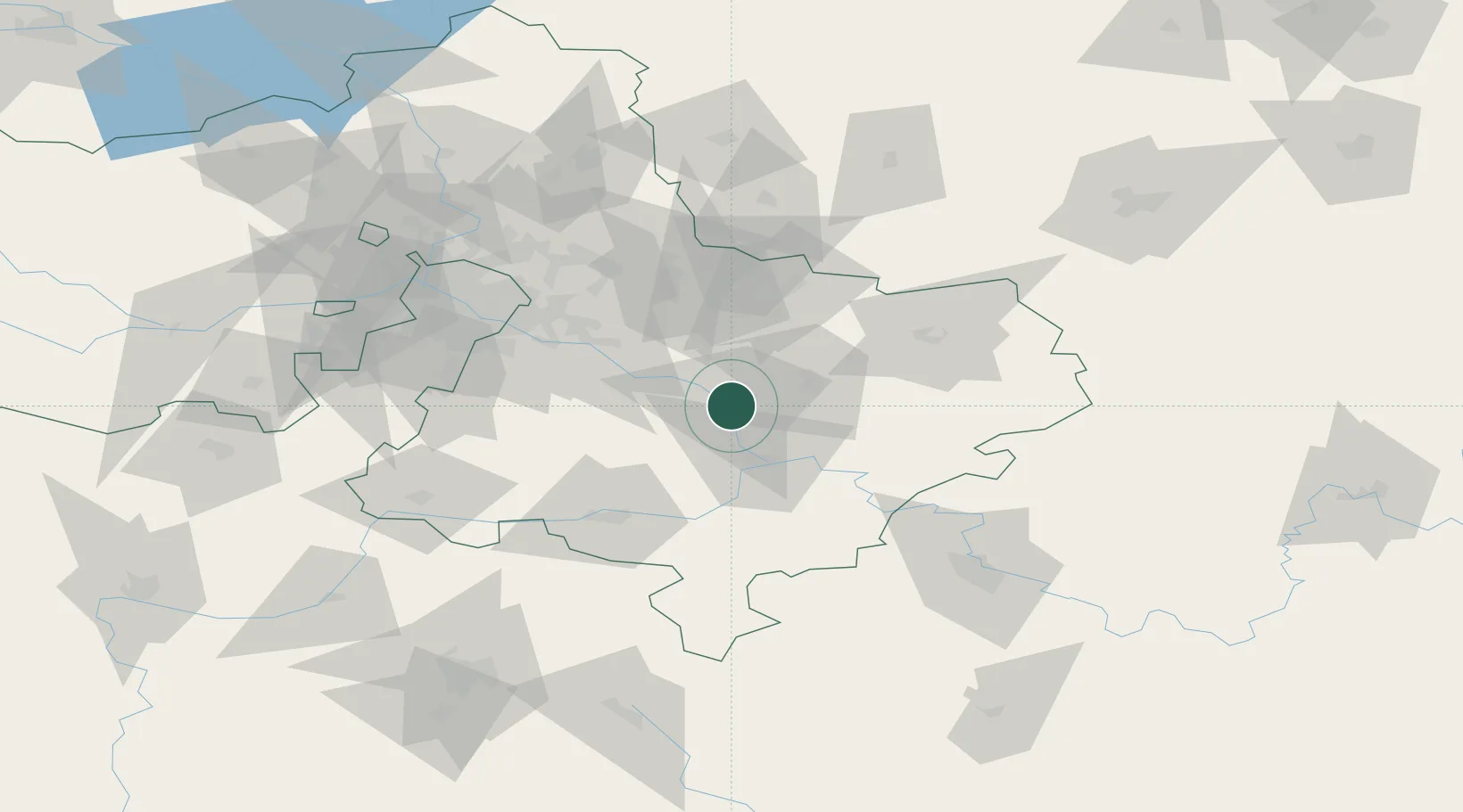
Location
Nearby Logistics Neighbours
Cities
- 1Voskresensk1 km
- 2Yegor'yevsk20 km
- 3Kolomna26 km
- 4Ramenskoye30 km
- 5Malino41 km
Ports
- 1Lomonosov739 km
- 2Kronshtadt743 km
- 3Ust Luga787 km
- 4Primorsk819 km
- 5Vyborg839 km
Airports
- 1Zhukovsky International Airport46 km
- 2Tretyakovo Airport48 km
- 3Domodedovo International Airport53 km
- 4Myachkovo Airfield55 km
- 5Chkalovskiy Air Base76 km
DatabookThe Record of Consolidated Knowledge
Russia beyond logistics?