Transport Functions
Port
Hub Profile
Place type
Populated place
Region
Gelderland
Population
570
Time zone
Europe/Amsterdam
Elevation
19 m
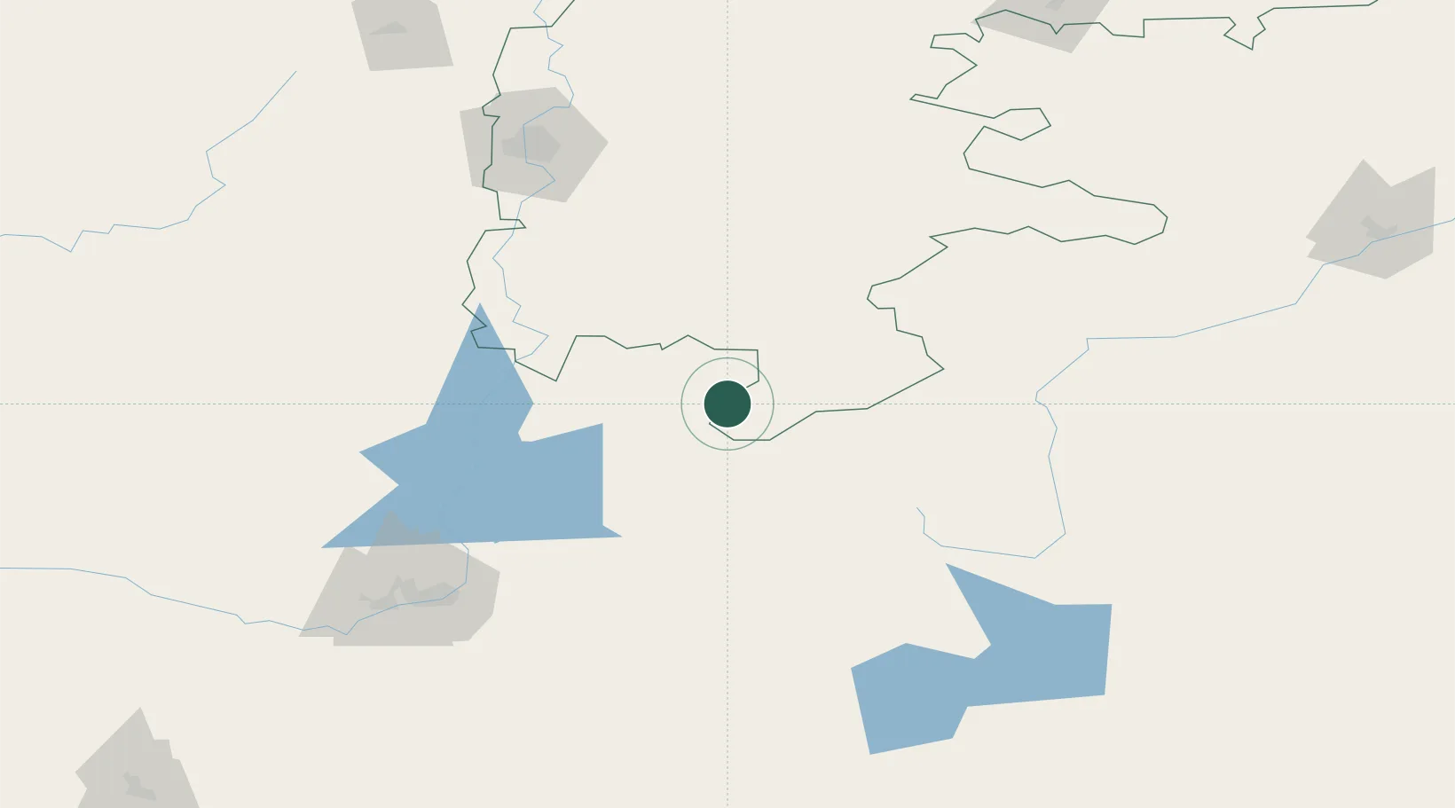
Location
Nearby Logistics Neighbours
Cities
- 1Gasselternijveen107 km
- 2Anhalt Süd141 km
- 3Novotroitsk158 km
- 4Fluitenberg224 km
- 5Kustanai266 km
Ports
- 1Rostov-Na-Donu1556 km
- 2Azov1578 km
- 3Taganrog1605 km
- 4Yeysk1675 km
- 5Sokhumi1746 km
Airports
- 1Kvarkeno Airport24 km
- 2Orsk Airport156 km
- 3Magnitogorsk International Airport160 km
- 4Svetlyy Airport164 km
- 5Uprun Air Base262 km
DatabookThe Record of Consolidated Knowledge
Netherlands beyond logistics?