Transport Functions
Multimodal
Hub Profile
Place type
Populated place
Region
Tula Oblast
Time zone
Europe/Moscow
Elevation
170 m
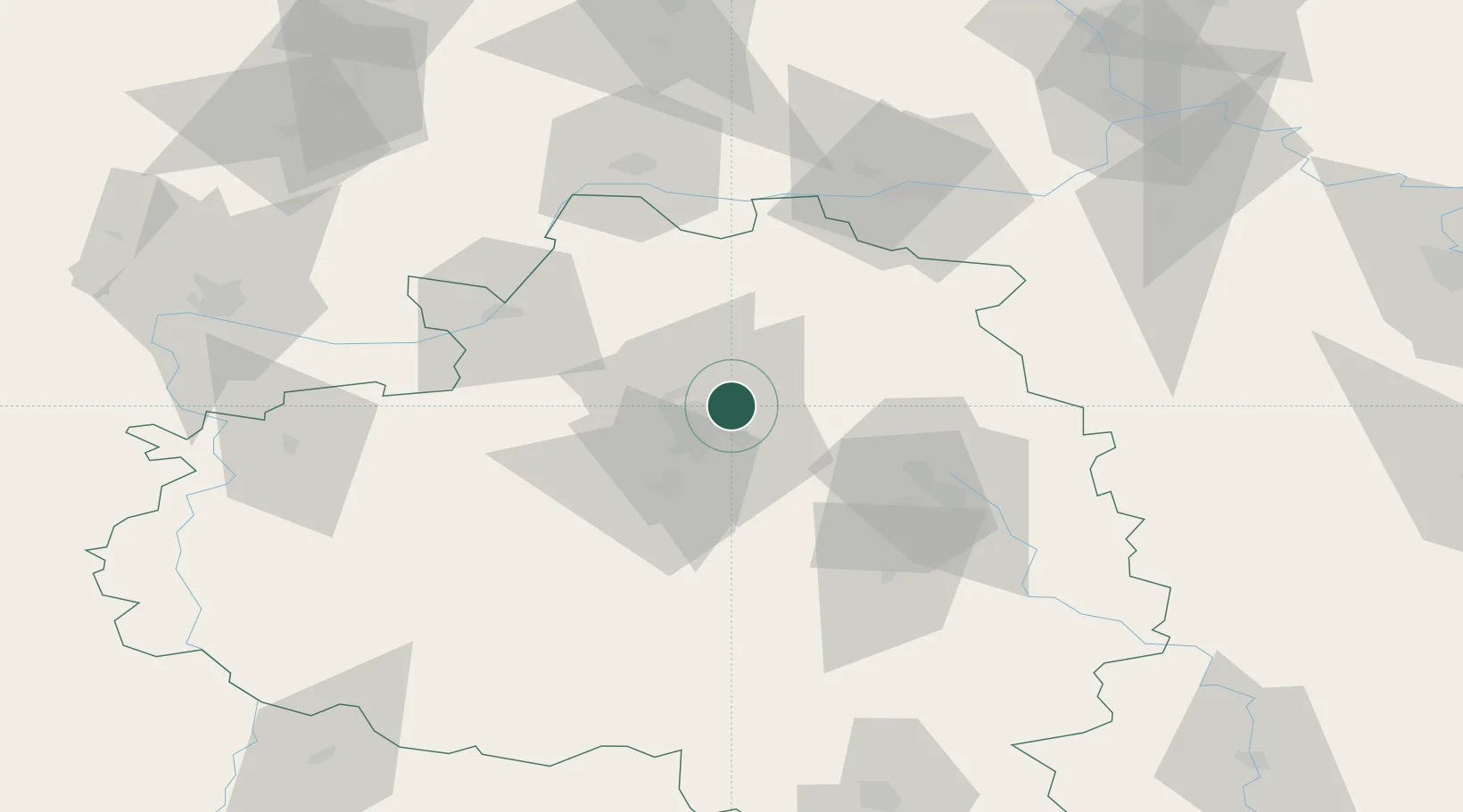
Location
Nearby Logistics Neighbours
Cities
- 1Novomoskovsk37 km
- 2Kashira72 km
- 3Stupino75 km
- 4Serpukhov77 km
- 5Ozëry86 km
Ports
- 1Taganrog789 km
- 2Lomonosov791 km
- 3Kronshtadt796 km
- 4Mariupol797 km
- 5Rostov-Na-Donu800 km
Airports
- 1Grabtsevo Airport93 km
- 2Oreshkovo Airfield108 km
- 3Tretyakovo Airport112 km
- 4Dyagilevo Air Base129 km
- 5Yermolino Air Base129 km
DatabookThe Record of Consolidated Knowledge
Russia beyond logistics?