Transport Functions
Port
Rail
Road
Hub Profile
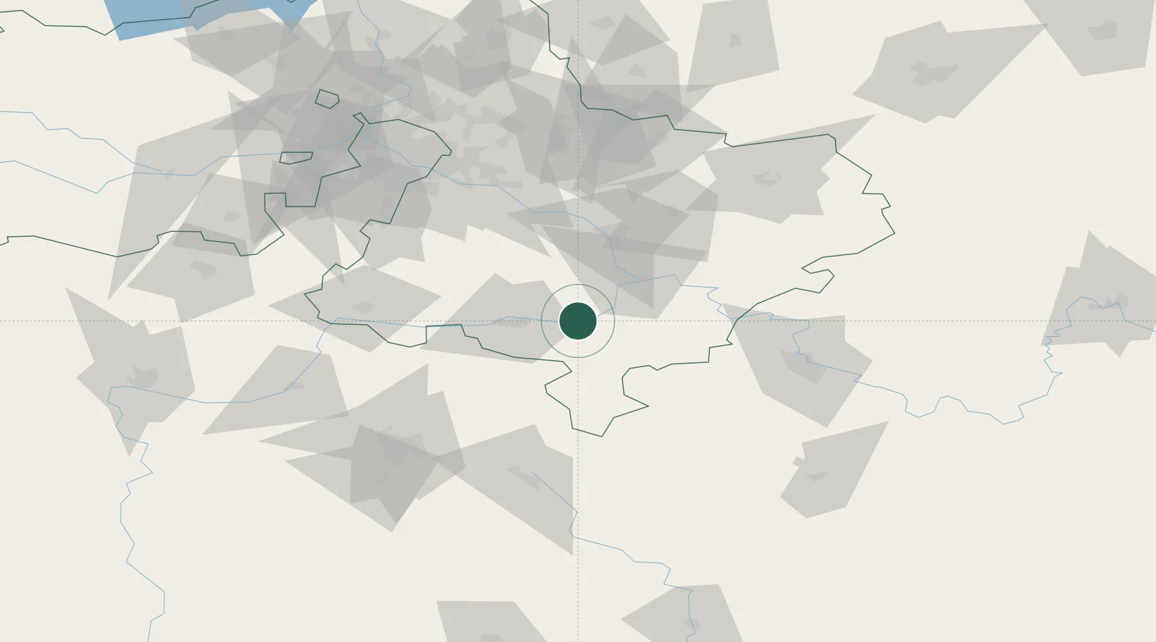
Place type
Populated place
Region
Moscow Oblast
Population
25,900
Time zone
Europe/Moscow
Elevation
132 m
Location
Nearby Logistics Neighbours
Ports
- 1Lomonosov770 km
- 2Kronshtadt774 km
- 3Ust Luga814 km
- 4Primorsk850 km
- 5Taganrog851 km
Airports
- 1Tretyakovo Airport31 km
- 2Dyagilevo Air Base69 km
- 3Domodedovo International Airport74 km
- 4Zhukovsky International Airport82 km
- 5Myachkovo Airfield87 km
DatabookThe Record of Consolidated Knowledge
Russia beyond logistics?