Medium airport · Russia

Tretyakovo AirportUUMT
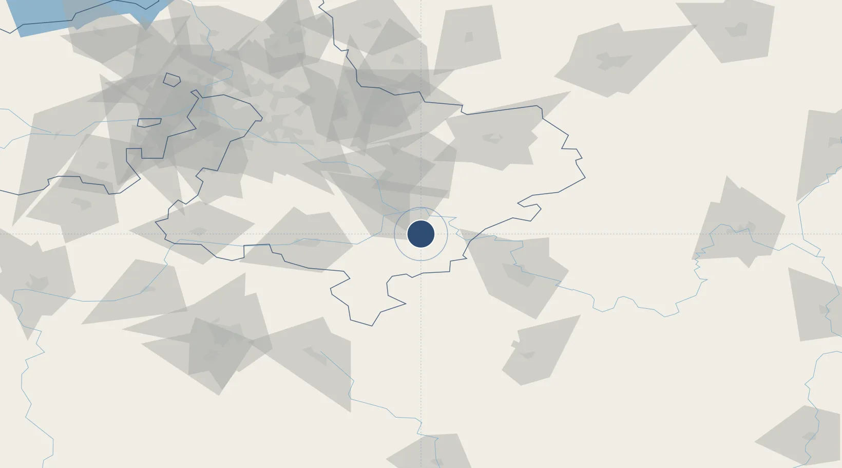
54.9050°, 39.0267°
9,842 ft
Longest runway
1
Runways
515 ft
Elevation

Runway & Layout

Tretyakovo Airport runway & taxiway layout
Runway & taxiway layout — OpenStreetMap (ODbL) / OurAirports

Runways · 1

RunwayDimensions SurfaceTrue headingLit
10/28 9,842 × 190ft
OurAirports

Airport Specifications

ICAO code
UUMT
OurAirports
Airport class
Medium airport
OurAirports
Scheduled service
No
OurAirports
Served city
Lukhovitsy
OurAirports

Location

Location of UUMT
Natural Earth 10m (public domain) · Moskovskaya · UUMT · 54.90, 39.03GoogleOSMYandex

Nearby Logistics Neighbours

Airports
  1. 1Dyagilevo Air Base45 km
  2. 2Domodedovo International Airport91 km
  3. 3Zhukovsky International Airport91 km
  4. 4Myachkovo Airfield98 km
  5. 5Chkalovskiy Air Base124 km
Nearest neighbours — logibook spatial index (haversine) over the source coordinates
Cities
  1. 1Zaraysk20 km
  2. 2Kolomna25 km
  3. 3Ozëry31 km
  4. 4Voskresensk48 km
  5. 5Voskresensk49 km
Nearest neighbours — logibook spatial index (haversine) over the source coordinates
Ports
  1. 1Lomonosov785 km
  2. 2Kronshtadt789 km
  3. 3Ust Luga832 km
  4. 4Taganrog857 km
  5. 5Rostov-Na-Donu862 km
Nearest neighbours — logibook spatial index (haversine) over the source coordinates
Trade Zones
  1. 1Stupino Quadrat Special Economic Zone63 km
  2. 2Uzlovaya Special Economic Zone113 km
  3. 3Special Economic Zone Technopolis Moscow122 km
  4. 4Istok Special Economic Zone - Tech and Dev134 km
  5. 5Borovsk Special Economic Zone165 km
Nearest neighbours — logibook spatial index (haversine) over the source coordinates
DatabookThe Record of Consolidated Knowledge
Russia beyond logistics?
Browse databook

All Sources

AirportsOurAirports
Public domain
Portsthe NGA World Port Index
Public domain (US gov)
LocationsUN/LOCODE
UN/LOCODE — free
Trade Zonesthe World Bank SEZ database
CC BY 4.0
Trade ZonesOpen Zone Map
CC BY
InfrastructureOpenStreetMap
ODbL 1.0
← Russia airports